Chile and Antarctica cruise

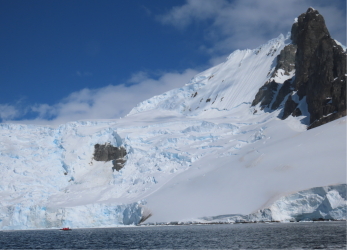
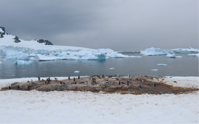
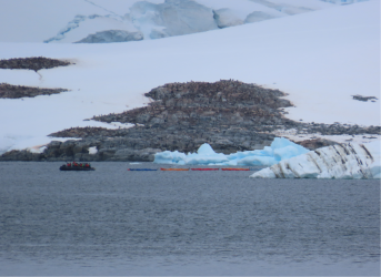
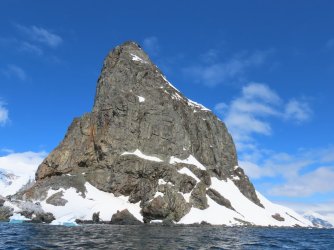
To reach the landing site, we had to round an impressive high volcanic tor, with the inevitable penguin colony at the water's edge, so of course we had to go for a look.
IMG_4889.JPG

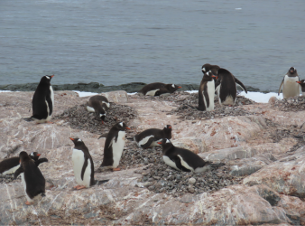
Yeah, yeah, more cute chicks; bonus Imperial cormorant.
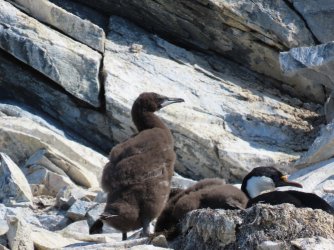
IMG_4898.JPG

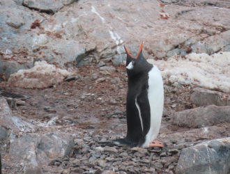
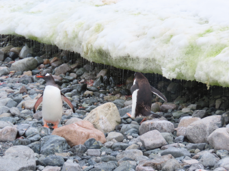
A good shot of some very dense basalt, maybe with some olivine rich xenoliths in it. Oh, and a penguin.
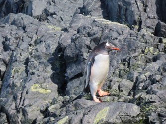
IMG_4902.JPG

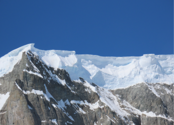
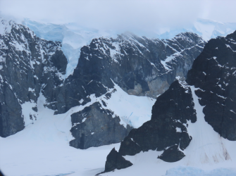
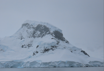
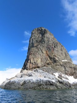
When we motored around the corner (all the white stuff in the middle is penguin cough), I saw something. Before reading on, can anyone see what caught my attention in this next pic?

IMG_4891.JPG

<10 seconds of thinking music>

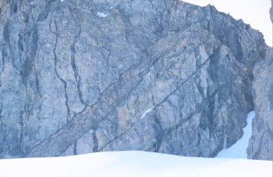
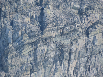
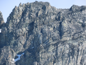
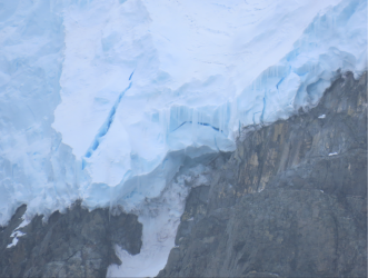
Yes, that scooped out area at the top is evidence of a very large rockfall at some time in the distant past. And notice all the many fractures and smooth 'parting planes' on the mountain. The wedging freeze-thaw effects here would be massive. My quick conclusion was that this place was ripe for another rockfall, at any time. Very unlikely to go right now, but then again, something is going to fall at some time. I thought about asking the zodiac driver to move away, but as she was making some enthralled comments about penguin vomit feeding of their young, and as I was uneasy rather than afraid, I didn't say anything.

But I did write a note to the expedition leader that night, noting the issue and my concerns. I think its unsafe to motor right under that tor, there is nothing unique to see there and I said I wouldn't go within at least 100m of the edge if I was there fishing. A couple of days later, I haven't heard back, but there are still a couple of days to go.

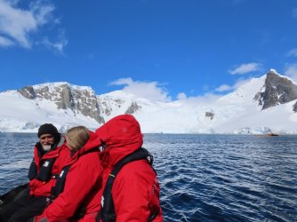
We carried onto the landing site
IMG_4912.JPG

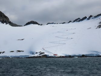
And saw what the hikers were doing - the zig-zag walk up of icy snow which was quite challenging to many
IMG_4916.JPG

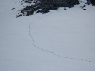
The penguins lay a lighter foot on the landscape
IMG_4917.JPG

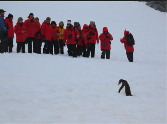
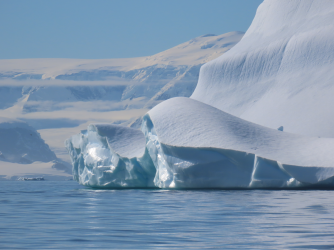
Landed on continental Antarctica ...

IMG_4923.JPG

what a sight!
1704286465954.png

1704286524902.png
 
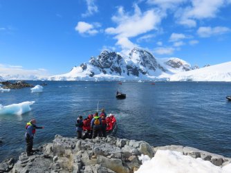
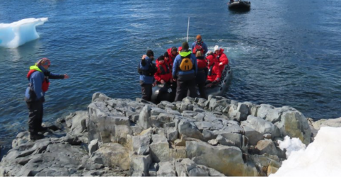
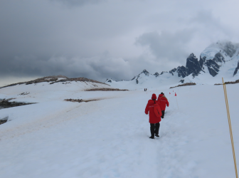
The landing site. Of course you spotted the significant feature in the pic above:

1704288896542.png

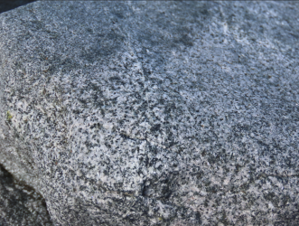
Of course you did! Its granodiorite!
1704289741383.png

Which not only explains why the landing site is there (its harder than the surrounding rocks) but also shows we are near the top of the intrusive pluton beneath the volcanic vents that dominate the landscape. I then tried to engage on of the expedition team on what they thought the composition of the classic cough swarm above us was, but, having established that I wasn't asking about penguins or seals, they demurred. I tracked down the geo later and she was as excited about it as I was, but all the others, didn't know, and worse, didn't want to know.

1704290033900.png

1704290673167.png

1704290731317.png

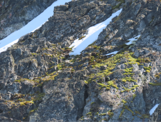
One of them pointed out the mosses on the slope above. Look more like cushion plants to me, but 🤷‍♂️

1704289602603.png

Back back to snow, which we all agreed was awesome.

1704291062919.png


1704291134566.png
 
SO, we finished off the visit to the landing site with a fang around the glacier

1704300320403.png

1704300182526.png

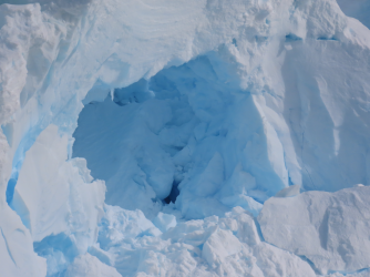
And we (I) got a look look at what the zodiacs blithely drove under

1704300131806.png

and off we went towards the next day's destinations.

IMG_9345.JPG

The evening briefing showed we were going to two sites, with a landing at one

IMG_9383.JPG

IMG_9384.JPG

IMG_9389.JPG

and there was also going to be the

IMG_9387.JPG

I regard this as the same as sky-diving. Why jump out of a perfectly good airplane/boat?

The evening briefings also contain what is described as a 'recap'. But its not. Its usually 3 short lectures by the Exped staff on topics such as whales, 'why is the south pole cold' (more on that later), how elephant seals dive so deep etc. Both Port Power and I have mentioned to the Exped leader that a 'recap' should be a collection of images of the places visited that day (sourced from the professional photographer on board) and an explanation of what was actually seen and a discussion of some of the interesting things that arose. Nope.

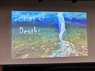
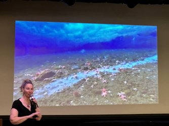
One lecture was particularly interesting -

IMG_9402.JPG

IMG_9401.JPG

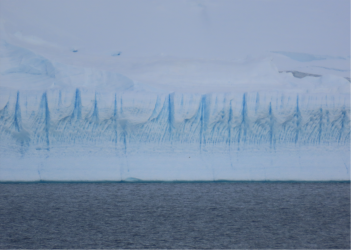
Actually 'brinicles' Read about 'em here

 
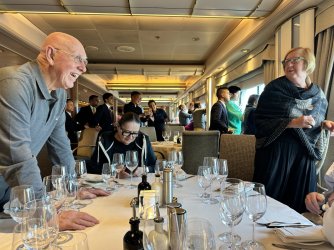
That evening, dinner was interrupted by a very close display by the whales ....

IMG_9405.JPG

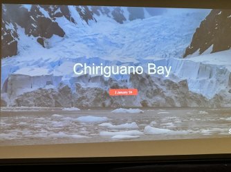
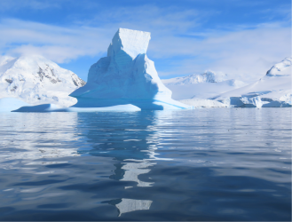
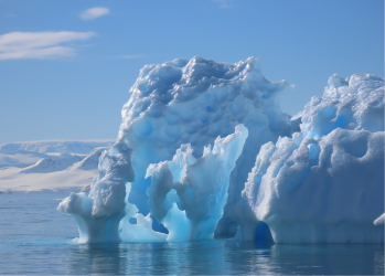
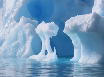
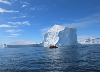
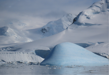
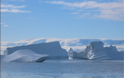
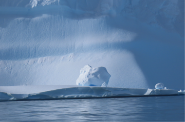
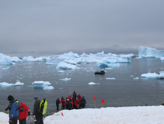
At Chiriguano Bay (nothing to do with cough) we had a nice zodiac cruise in very still and sunny conditions. There turned out to only be a few penguins (yawn), so it turned out to be "lets see if there are any whales ...". Not a cracker. So we cruised around and admired the icebergs, which was a very pleasant thing to do, given the conditions

1704301695172.png

1704301775926.png

1704301865181.png

1704301945097.png


1704301621966.png

1704302046741.png

1704302178856.png

1704302267976.png
 
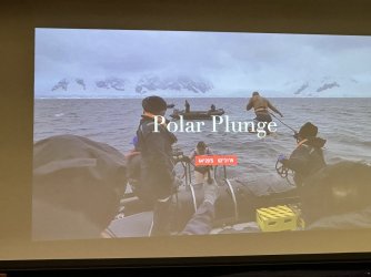
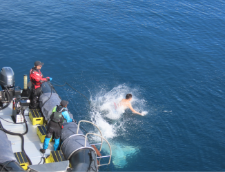
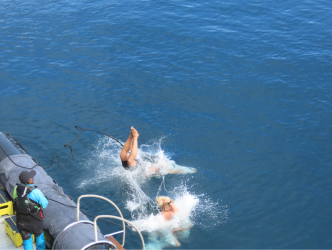
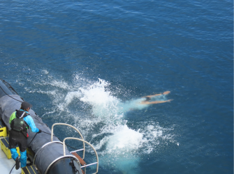
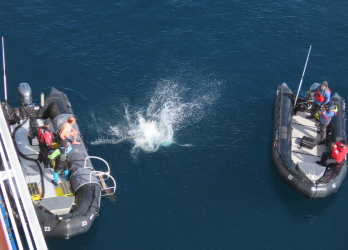
The polar plunge. About 100 people did it. After completing a 4 page medical questionnaire and waiver, you are tied to a harness, and two at a time, jump off the zodiac and climb back in. The ship's photographer is in a zodiac filming (pics for a price) and you can also give your phone to someone behind you to take pics. Or, you can be like me, hanging over Port Power's balcony and looking on in comfort. No-one who took the plunge reported a bad experience.

1704302795092.png

1704302707735.png


1704302629262.png

1704303053237.png

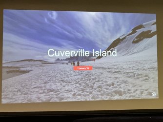
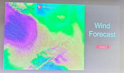
That done, we motored off to Cuverville Island, not far away. The weather started to change, becoming overcast and windy, exactly in line with the forecast from 'Windy'.

1704304110815.png

The first group of zodiacs went off for their landing, but then there was a significant delay, while the Bridge staff manoeuvred the ship to avoid icebergs (medium to small) from sliding down the side. If one of them hits the landing where zodiacs are deployed from on the side, it will damage it; then it wont be able to be sealed; if so, its officially "abandon ship" as the compartment isn't watertight. OK, then, delay as long as you like!

Eventually my group was called and the weather was definitely closing in. The forecast for our Drake Passage crossing isn't pretty!! The landing; have to go up the 'beach' a bit, as the edge is the penguin's territory.

1704304434122.png

As soon as I hit the cobbled 'beach' I got excited, and the exped geologist was the same, but I was ushered up the 'beach' as we had a guided walk in groups to see ... more penguins. It was "20 minutes there, 20 back over some tricky snow". It was 10 mins there, 10 back for most of us.

1704304710639.png

At the end, we saw some penguin 'highways'

1704304637389.png


1704304824747.png

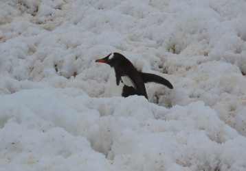
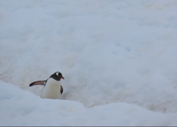
A penguin.

1704305097868.png
 
Come on, @RooFlyer! At least by now you can show that you have learned something about “birds” other than you recognise the variety “Penguin”. Shock us all and write “Gentoo Penguin” and “Adelie Penguin”. However, your readers might need to have smelling salts ready following our shock! 🤣🤣
Mind you, you did mention the Imperial Cormorant up thread. Good one! 😀
 
The Frequent Flyer Concierge team takes the hard work out of finding reward seat availability. Using their expert knowledge and specialised tools, they'll help you book a great trip that maximises the value for your points.

AFF Supporters can remove this and all advertisements

Sponsored Post

Struggling to use your Frequent Flyer Points?

Frequent Flyer Concierge takes the hard work out of finding award availability and redeeming your frequent flyer or credit card points for flights.

Using their expert knowledge and specialised tools, the Frequent Flyer Concierge team at Frequent Flyer Concierge will help you book a great trip that maximises the value for your points.

Feel free to correct if I have this wrong.

A note on scheduling. Access to Antarctica is mainly governed by some international treaty organisations, such as the Secretariat for the Antarctic Treaty who set limits on the number of people who can land at a site at any one time (I think 100) max pax on vessel (I think 500), max ships at a location (I think 3) and so on. The SAT define rules for each visit location:


Then there is the International Association of Antarctic Tour Operators IAATO an essentially self-regulating body to promote best practice.

The decision to visit a particular place is largely governed by the weather, which is very changeable of course. So the Expedition Leader, in consultation with the Captain/bridge staff will look at the forecast 1, 2, 3 days out and decide on a location schedule for, say the next day or day after that. This requires a deal of experience as there are ice, current and wind characteristics of each place that the forecasts won't be able to predict in detail.

So IAATO maintains a schedule of visits to locations (drop anchor) and timings. Once a vessel decides it wants to go somewhere, they go to the 'booking page' and if available, book the slots (places, timings) they want. I gather its dynamic, so you can chop and change, as long as there is a slot available. When I was in the Galapagos, much the same thing occurred.

Our final day in Antarctica was due to be the South Shetland Islands, but the weather forecast the day before was very poor (high winds) and we were due to begin our traverse of the Drake Passage in the afternoon. In the evening briefing, the Exped Leader admitted at that point, he didn't know where we would be going. It was announced early the next morning that we would be traversing a narrow channel to the south, taking up most of the day, and we entered the Drake in the early evening. Its now the next morning and it was quite bumpy between midnight and 6am, but not too bad now.

I've been told by one of the experienced exped team that fine sunny days are not uncommon in Antarctica at this time of year, but we have had a much better run than most.
 
At the Gentoo penguin view point, our guide was the ship's historian. Strange choice, but I guess they wanted some shore time. They of course told us about the penguins, the other birds and even the lichens and mosses. I happened to ask, sweeping my arm across the rocky amphitheatre, what could they tell me about the geology, the dominating feature of where we were, the dismissive reply was 'I can't, you'll need to ask [the geologist]'. What I didn't then say was 'You are the ship's historian, yet are able to guide a group telling all about the birds, seals, plants - why not geology too?' I was particularly peeved because at this location, there were not one but two really nifty geological stories to be told. One - which I'll recount below, particularly relevant to the cruise.

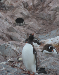
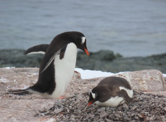
On the walk back, a great sight of Gentoos nesting on their rocky nests, and the behaviour of stealing rocks from your neighbour's nest to supplement your own was being acted out.


1704374249429.png

1704374296487.png

1704374338041.png

Somebody stole my rock!

1704374378155.png


Posing for the cameras

1704374438643.png
 
/rant

Now to the issue that got up my nose.

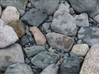
As soon as you got out of the zodiac, no-one could miss the array of different types of rocks in the boulders and cobbles on the beach. Some brightly coloured, some just lightly coloured, which we haven't seen anywhere else on the trip.

Exhibit one. Even if you can't identify the 10+ types of rock in this shot, you'll be able to tell that there is a variety of rocks, and if you had been on the cruise, that these is unlike the uniformly grey sediment or volcanic rocks that form the beaches and exposures we have seen so far and more significantly, unlike the rocks were are looking at in this area and the mountains above us.

1704375373114.png

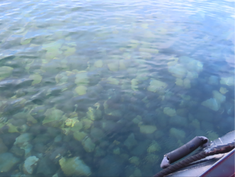
Even in the water they were obviously different

1704375144995.png

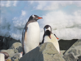
Even looking at penguins you can't miss the unusual, pale boulders:

1704375029559.png

1704375516509.png

So what has this got to do with a cruise in Antarctica?

Well, a recurring theme has been glaciers, their effects on the landscapes, and the creation of moraines by the glacier grinding over and plucking from the rock underneath them and then depositing the moraine at the end. This place is a textbook example of glacial moraines. Many types of rock (different granites in this case) deposited here but obviously not from here. Glaciers in the hinterland have scraped over different rock, come together where glaciers mere and were deposited into the bay, as complete exotics.

Zero interest or knowledge from any of the exped crew I chatted to while waiting for my return zodiac. They had 14 people on-shore to organise so many were just waiting, like me.

One the zodiac back, after a tip from the geo, I saw another great feature. A bit more exotic and possibly less easily digested by a non specialist but its a text book example of the very top of an intrusive granite pluton coming up and solidifying under the volcanic pile that preceded it. The granite magma doesn't just nestle up under the solid volcanic basalt, but gasses and fluid violently assault the contact zone, shattering it and pieces of the volcanic rock fall back into the magma, some is digested within it, dome form boulders of volcanic rock within the granite.

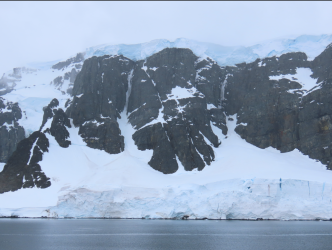
Here's the side of a mountain in the distance. Most of the rock is dark volcanic rock, probably basalt. The lighter rock is granite.

1704376505749.png

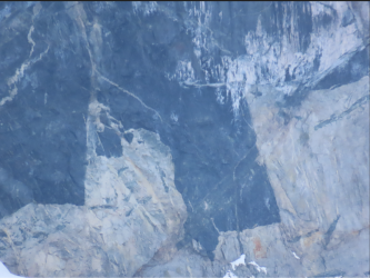
Detail of the contact zone. Note the pieces of basalt in the granite under the contact, how they are angular and fragmenting. This shot could go into any textbook on the subject. :)

1704379204527.png 1704379259928.png

There were some other great features on show, but nevermind.

The reason for the rant isn't so much that most of them didn't know about all this, rather than they showed zero interest when I pointed them out. Unlike, particularly the Ponant lot in the Kimberley. Lack of curiosity about the natural environment amongst expeditioners is poor form, I think.

Normal transmission will resume next ;)

/rant

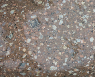
Oh, this rock is just pretty. Bonus points if you can say what I've done wrong in this and the first pic.

1704379687690.png
 
Ahem. Where was I?

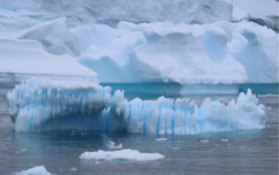
On the return we again admired the icebergs, big and small

1704383362535.png

1704392731378.png

1704383407429.png

1704383478915.png

The weather continued to deteriorate throughout the afternoon and it was obvious a change was on the way. This confirmed in that night's briefing, where the forecast for the South Shetlands (where the label Stars Town is) was very grim wrt wind.

1704383977947.png

So we are off to somewhere in Wilhelmina Bay

1704384076815.png

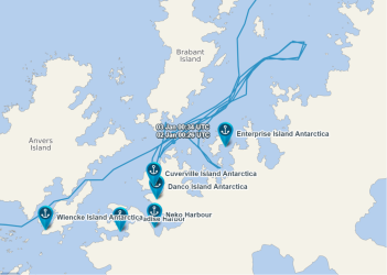
Wilhelmina Bay was quite close to where we ended up today, so I was puzzeled that night to see our location as heading to the NE, up the channel, away from Wilhelmina. A check of our route to date (now in Drake Passage) shows a peculiar path for us, going up the channel to the NE several times, then returning. I didn't remember any of those.

1704384781989.png


Reason was, rather than being at anchor in the channel during the night, and have the risk of an iceberg drifting down towards us, needing the ship to up-anchor and manoeuvre out of the way, the ship tootles along during the night under power and arrive at destination when required.

Arrival at Wilhelmina showed a totally uninspiring vista

1704392650988.png

and by the time the first zodiacs went out, it was decidedly uninviting, especially considering the weather we've had. I decided to skip this one, especially as there had been no info on what might be seen.


1704393105892.png
 
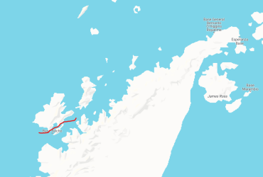
On their return, it was announced that we would be transiting SW down the Neumayer Channel between Anvers and the smaller Weinke Islands, and then head NNE to the Drake Passage in th evening

route.png

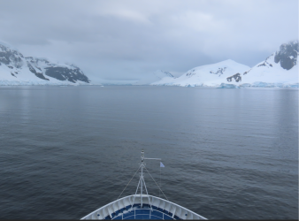
The channel is narrow (down to 1 mile wide) but very deep (400m in parts) and has glaciated mountains on both sides.

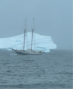
Over lunch, on our way there, we passed this guy. I know which vessel I'd rather be on!

1704395734851.png

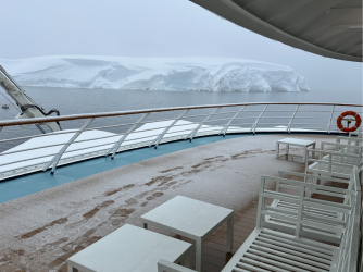
The Neumayer Channel has very tall mountains and glaciers and glaciated snow on both sides. Many people braved the front viewing deck the entire 3 hours it took to transit through.

1704395889120.png

1704395959105.png

1704396018157.png

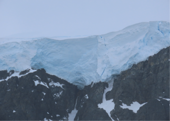
Check out the hanging snow/glacial snow

1704396286078.png

1704396437860.png

1704396512628.png

1704396609592.png
 
Narrowest part of the channel - but 400m deep!!

1704415151456.png

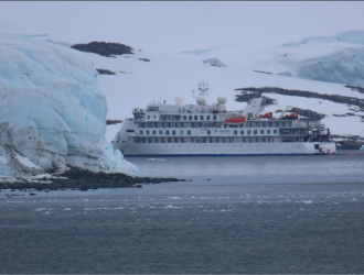
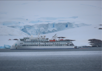
We are not alone. We've seen many other cruise boats on this trip - maybe one every one or two days; sometimes 3 others in a day. This is the Greg Mortimer. Note the kayaks being launched off the stern.

1704415254391.png

Almost A380-like

1704415339258.png

1704415885470.png

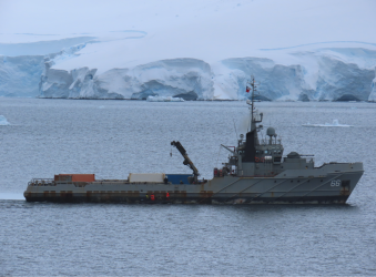
In the same area, a Chilean navy vessel, standing off an Argentinian research base.

1704415495052.png

Magellan Explorer, also in the same area

1704415634066.png

Typical vista along the length of the channel

1704415702263.png

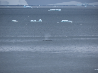
Needless to say, plenty of whales about.

1704415770714.png
 
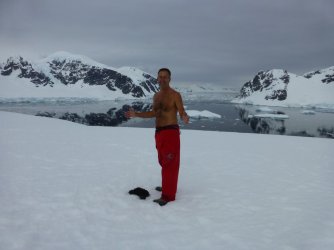
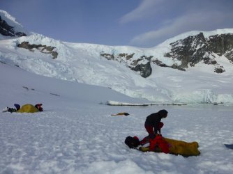
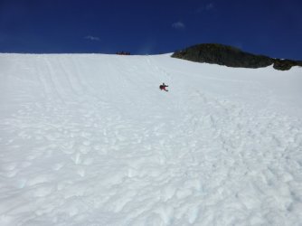
I think your topless pic, camping out on the ice overnight and taking the fast way down a slope must have gone astray, Rooey... 😜

Now, pay attention:

Camping out

IMG_7855.JPG

Sustenance

IMG_8062.JPG

Outlook

IMG_7853.JPG

Polar plunge

IMG_7916.JPG

I was actually shirtless here, getting some vitamin D, but thought this aspect would be more interesting.

IMG_E7935.JPG
 

Enhance your AFF viewing experience!!

From just $6 we'll remove all advertisements so that you can enjoy a cleaner and uninterupted viewing experience.

And you'll be supporting us so that we can continue to provide this valuable resource :)


Sample AFF with no advertisements? More..

Staff online

Back
Top