You are using an out of date browser. It may not display this or other websites correctly.
You should upgrade or use an alternative browser.
You should upgrade or use an alternative browser.
I’ll give you the tip – at Cape York
- Thread starter JohnM
- Start date
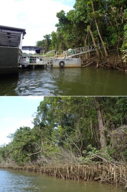
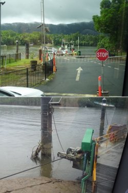
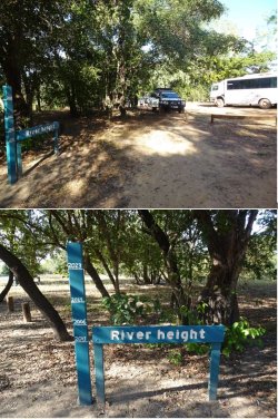
For those wondering during the big floods the ferry is usually pulled out of the river in advance and hauled up on stands behind where the picture is taken...if they are too slow to remove it the ferry has previously been punctured by floating higher than those poles.
It would be 1-2m deep in the carpark there but very little current as the water spreads out.
It would be 1-2m deep in the carpark there but very little current as the water spreads out.
JohnM
Enthusiast
- Joined
- Jun 7, 2006
- Posts
- 11,831
- Qantas
- LT Gold
JohnM
Enthusiast
- Joined
- Jun 7, 2006
- Posts
- 11,831
- Qantas
- LT Gold
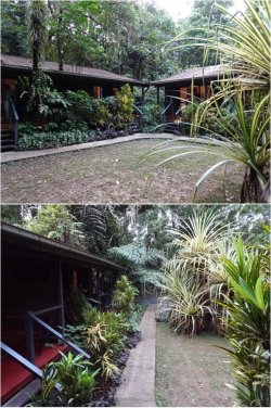
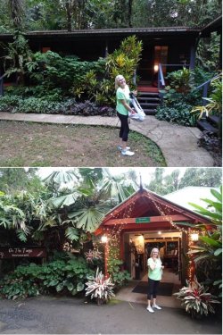
On to Heritage Lodge in Daintree NP to overnight.
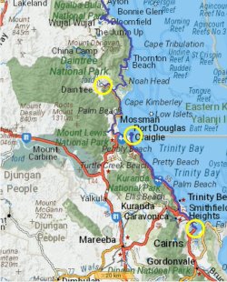
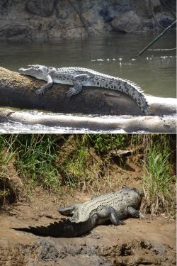
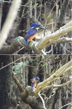
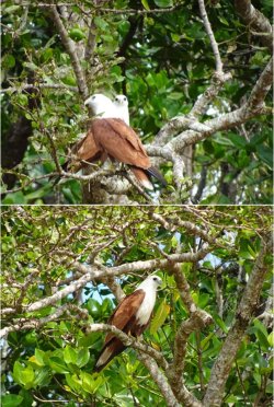
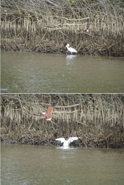
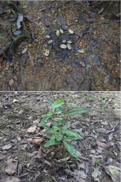
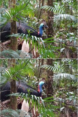
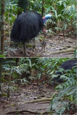
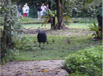
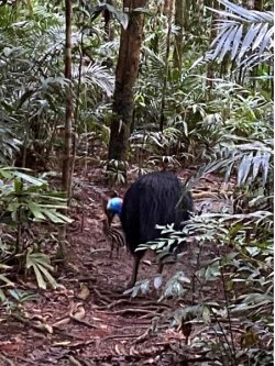
Trying to get the wildlife to stand still presents an ongoing challenge…
We were fortunate that the Bloomfield Track had been reopened just within the last two weeks after the massive floods in December. This is a highlight of the Cape York trip, but we had been forewarned that it may still be closed, which would have necessitated a backtrack and westwards detour onto the main road.
A boardwalk to the beach to view Cape Tribulation.
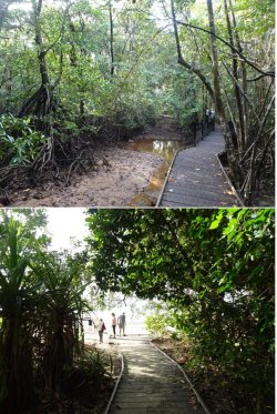
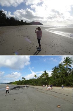
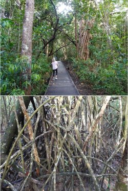


Trying to get the wildlife to stand still presents an ongoing challenge…

We were fortunate that the Bloomfield Track had been reopened just within the last two weeks after the massive floods in December. This is a highlight of the Cape York trip, but we had been forewarned that it may still be closed, which would have necessitated a backtrack and westwards detour onto the main road.
A boardwalk to the beach to view Cape Tribulation.


JohnM
Enthusiast
- Joined
- Jun 7, 2006
- Posts
- 11,831
- Qantas
- LT Gold
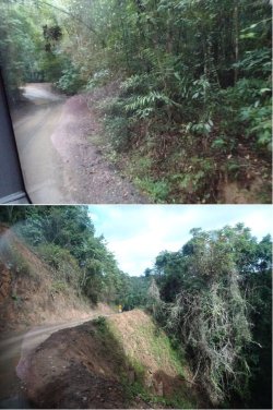
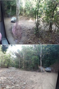
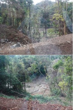
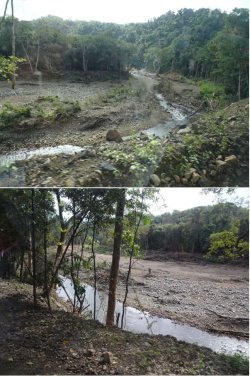
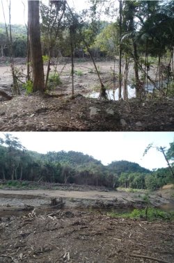
Then onto the narrow, steep and rougher section of the Bloomfield Track north of Cape Tribulation. It winds along the side of the mountains with steep rainforest-covered slopes down to the coast.
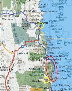
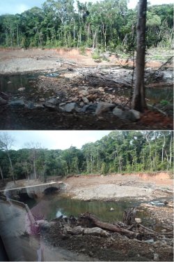
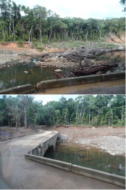
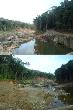
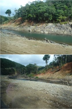
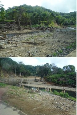
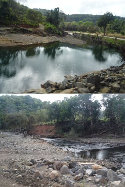
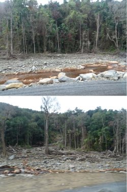
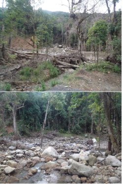
The flood damage was extreme. Our veteran driver was stunned by the extent of the landscape changes.
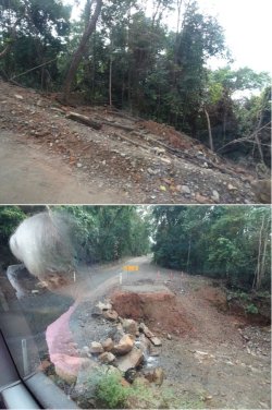
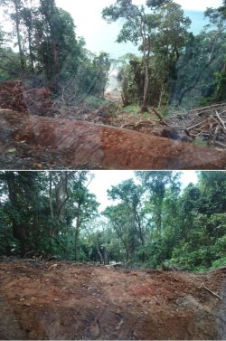
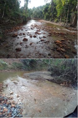
Very steep sections were grooved concrete.
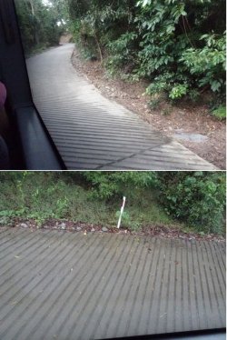
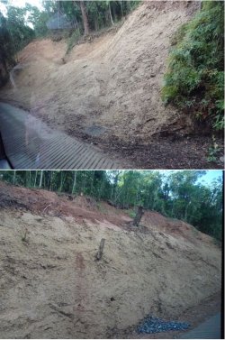
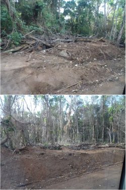

The flood damage was extreme. Our veteran driver was stunned by the extent of the landscape changes.


Very steep sections were grooved concrete.


TheRealTMA
Senior Member
- Joined
- Jul 13, 2012
- Posts
- 8,397
- Qantas
- Platinum
Good territory to plant some vines for Jura wines!
JohnM
Enthusiast
- Joined
- Jun 7, 2006
- Posts
- 11,831
- Qantas
- LT Gold
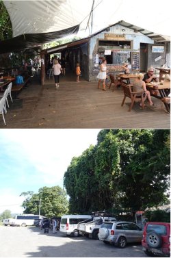
Then a stop for lunch at the quirky Lion’s Den Hotel at sleepy Rossville, just outside the N edge of the rainforest National Parks area.
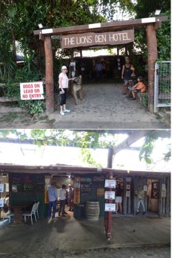
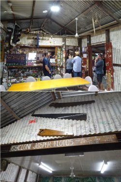
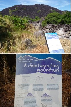
Black Mountain NP, a few clicks further N.
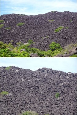
And continuing on to Cooktown for our overnight stop.
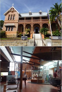
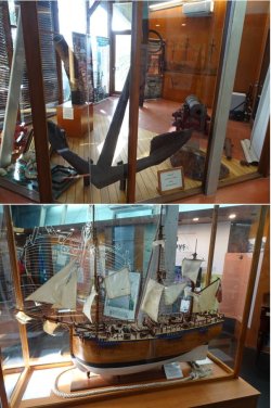
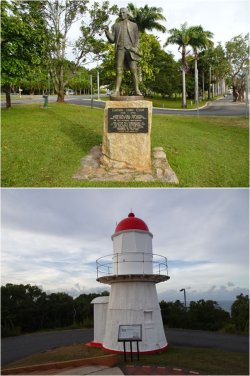
A visit to the Cooktown Museum in an old nunnery, with its centrepiece exhibit – an anchor from the Endeavour. Originally tossed overboard to lighten the ship after it struck a reef to the south of Cooktown’s location.
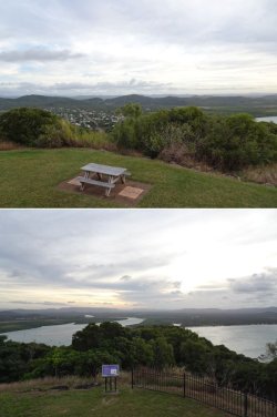


Black Mountain NP, a few clicks further N.


And continuing on to Cooktown for our overnight stop.
A visit to the Cooktown Museum in an old nunnery, with its centrepiece exhibit – an anchor from the Endeavour. Originally tossed overboard to lighten the ship after it struck a reef to the south of Cooktown’s location.


- Joined
- May 24, 2011
- Posts
- 3,350
- Qantas
- Platinum
We still talk about the museum in Cooktown. It has an amazing collection.
Thanks for the pix of the road...I should go for a drive.
It looks like it did when new back in the 80's, all cleared out and you can see the ocean etc.
Back in the day I was not driving as I was a kid but we usually were on the back of the ute anyway with the dogs and got better views standing up there.
There was concrete sections on the steeper hills before the floods as well.
Are they still working on it??
The Lions Den looks similar but with much less "memorabilia" hanging from the ceiling.
It had real character back in the 80's and 90's, in the 2000's the Health Department made them do a big cleanup of the place and remove a lot of the old memorabilia.
It looks like Daniel (the Lion statue at the door) has lost his mane?
That Telstra payphone was the only one North of the Daintree River back in the old days.
There was one on the North bank of the Daintree, up a little higher about 100m from the river and that was it until Lions Den. There was a dinghy hidden in the mangroves you could row across the river (we shot crocs back then so they were barely a problem) and wake up the ferry guy for emergencies, because half the time the phone was full of coins or busted anyway.
We still talk about the museum in Cooktown. It has an amazing collection.
I didnt know it had been renamed...it was always The James Cook Museum to us.
Cooktown and the museum got a big spruce up ready for the 250th Anniversary in 2020...but we know how that turned out.
JohnM
Enthusiast
- Joined
- Jun 7, 2006
- Posts
- 11,831
- Qantas
- LT Gold
Are they still working on it??
It looks like the basic repairs to get the road open have been done, but there is a lot more to do. Plenty of spots are barricaded to a single lane. I think it will be some time before it's properly fixed.
Elevate your business spending to first-class rewards! Sign up today with code AFF10 and process over $10,000 in business expenses within your first 30 days to unlock 10,000 Bonus PayRewards Points.
Join 30,000+ savvy business owners who:
✅ Pay suppliers who don’t accept Amex
✅ Max out credit card rewards—even on government payments
✅ Earn & transfer PayRewards Points to 10+ airline & hotel partners
Start earning today!
- Pay suppliers who don’t take Amex
- Max out credit card rewards—even on government payments
- Earn & Transfer PayRewards Points to 8+ top airline & hotel partners
AFF Supporters can remove this and all advertisements
Yes there was a big rush to get it open for the school holidays.
Back in 78 my family and 50 odd others, was stuck up there for 6 weeks when a similar cyclone/flood wiped out the road to Cape Trib. The road stopped at Cape Trib but the hippies had a trail to their pot plantation nirvana commune further north. There was a lot of beach front camping back then. They rebuilt it in 6 weeks back then, not 6 months but it was just dirt and probably a lot less red and green tape to do. We even had a chopper land on the beach and bring us food.
Back in 78 my family and 50 odd others, was stuck up there for 6 weeks when a similar cyclone/flood wiped out the road to Cape Trib. The road stopped at Cape Trib but the hippies had a trail to their pot plantation nirvana commune further north. There was a lot of beach front camping back then. They rebuilt it in 6 weeks back then, not 6 months but it was just dirt and probably a lot less red and green tape to do. We even had a chopper land on the beach and bring us food.
JohnM
Enthusiast
- Joined
- Jun 7, 2006
- Posts
- 11,831
- Qantas
- LT Gold
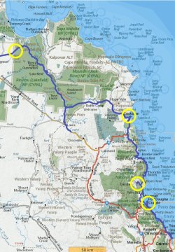
Moving on the next day along the Battle Camp Road heading into drier country to our next two nights’ stop on the W edge of Lakefield NP.
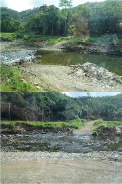
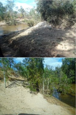
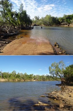
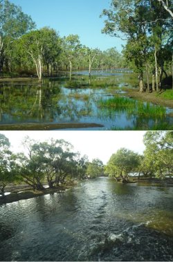
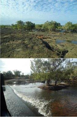
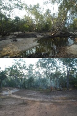
Uh-oh; is this going to hold us up? We arrived at this river crossing to find a few cars banked up. As we peered around the bend, the semi-trailer prime mover was departing, leaving a trailer behind. There was enough room for cars to get by, but it looked a bit tight for the coach.
You don’t go walking into rivers up there to test the clearance…
Fortunately, the prime mover reappeared, hitched up the trailer and hauled it out. It seemed that the truck didn’t have enough power to pull both of its trailers up the hill.
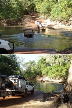
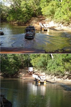
Watching the action; and off it goes and we follow once it’s clear.
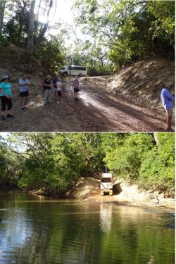
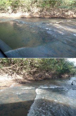
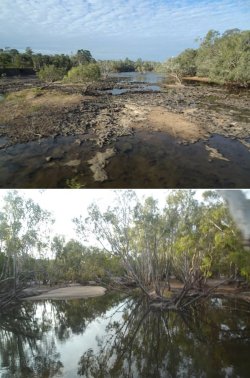
A few rivers were forded that morning.
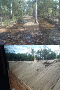
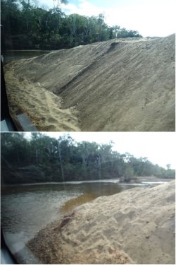
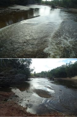

Uh-oh; is this going to hold us up? We arrived at this river crossing to find a few cars banked up. As we peered around the bend, the semi-trailer prime mover was departing, leaving a trailer behind. There was enough room for cars to get by, but it looked a bit tight for the coach.
You don’t go walking into rivers up there to test the clearance…
Fortunately, the prime mover reappeared, hitched up the trailer and hauled it out. It seemed that the truck didn’t have enough power to pull both of its trailers up the hill.


Watching the action; and off it goes and we follow once it’s clear.


A few rivers were forded that morning.


JohnM
Enthusiast
- Joined
- Jun 7, 2006
- Posts
- 11,831
- Qantas
- LT Gold
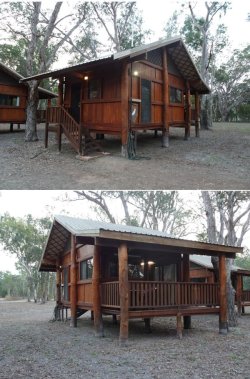
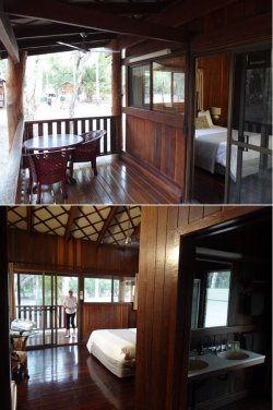
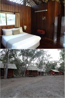
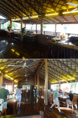
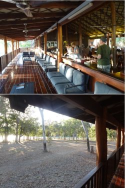
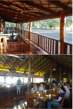
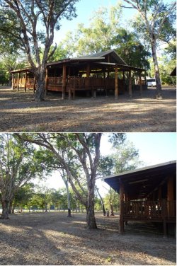
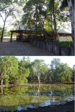
And our stop for the next two nights – Lotus Bird Lodge, an Outback Spirit-owned and run facility nestled next to a large lagoon on the edge of Lakefield NP. This is where the ambience and the food and bev offering really steps up in spades from the commercial hotels utilised at other stops on these itineraries. It’s at such facilities and locations where these trips come into their own.


JohnM
Enthusiast
- Joined
- Jun 7, 2006
- Posts
- 11,831
- Qantas
- LT Gold
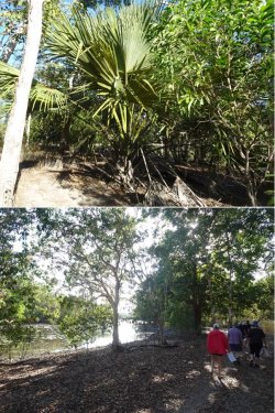
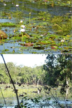
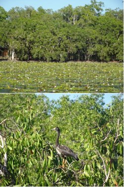
There’s a path making for a pleasant stroll around the lagoon.
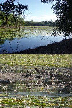
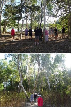
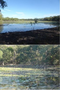
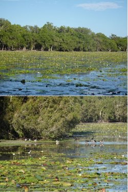
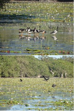
Many magpie geese.
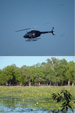
The 0900h helo flight heading out while we were on a walk around the lagoon. A 45-minute flight over Lakefield is part of the trip, with the helo being based there for the season. We were scheduled for the 1000h flight.
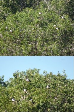


Many magpie geese.

The 0900h helo flight heading out while we were on a walk around the lagoon. A 45-minute flight over Lakefield is part of the trip, with the helo being based there for the season. We were scheduled for the 1000h flight.


Become an AFF member!
Join Australian Frequent Flyer (AFF) for free and unlock insider tips, exclusive deals, and global meetups with 65,000+ frequent flyers.AFF members can also access our Frequent Flyer Training courses, and upgrade to Fast-track your way to expert traveller status and unlock even more exclusive discounts!

AFF forum abbreviations
Wondering about Y, J or any of the other abbreviations used on our forum?Check out our guide to common AFF acronyms & abbreviations.
Currently Active Users
- cartz
- Mutilla2
- bjm76
- Becstar101
- Foz
- maaz
- stepheng
- RooFlyer
- SydneySwan
- MooTime
- TMP
- Luke014
- Dmac59
- mouseman99
- JimmyJ
- DJTravels
- utaussiefan
- CaptJCool
- Pete98765432
- Skuttlebutt
- TheRealTMA
- SYD
- 306
- funnymummy
- Airbumps
- Leigh744
- ChrisW.
- http_x92
- redbigot
- WrenchHammerMcTool
- Cessna 180
- semiskilled97
- zig
- Harrison_133
- Grrr
- wentworthmeister
- suprnova
- Shubysnacks
- Docfritz
- wattch
- dsotm
- M@rcoPolo
- hutch
- metaphase
- Lux
- Kebaba
- MELso
- LinaLee
- sykoticx
- cjd600
Total: 3,333 (members: 79, guests: 3,254)


