Seoul to Seoul (Hopefully not Couldn't Stand the Weather)

I'm enjoying this report. I am looking to visit Seoul some time in the next 18 months so I'm taking this report as inspiration.
 
Day 4, and today was the day I was picking up my bike and riding out to Incheon to pick up my bike passport and position myself for the start of the track.
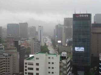
Woke early, opened the curtains, and f###. The weather had turned.

jpeg-optimizer_IMG_0002(7).JPG
Lazy morning, checked out at about 11 and made my way to the subway for my ride to Hongdae. An old Korean took an interest in me and wanted to know about my travels. Was a friendly old fella and stayed with me to make sure I got off at the right spot. Told me I was a visitor to his country and that it was his job to make sure things went smoothly. I really didn't need him to hold my hand, but he was harmless and was one of the very many acts of kindness I encountered from the Korean people.
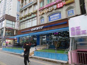
Out at Hapjeong Station and a short walk to the Giant bike store
jpeg-optimizer_IMG_0007(5).JPG
Had pre-booked my bike for 6 days at about $25 a day, plus a $50 fee to drop it off in Busan. Also able to leave my luggage with them to transport to Busan for me, which cost about $20.
After loading my bike bags and sorting my seat height, etc, etc was time to hit the road and ride out to Incheon, a journey of about 35km. I wasn't 100% comfortable with the state of my tyres, but stupidly didn't say anything. It meant doubling back the next day, but Ara Lock was the start of the trail and also the only place where you can buy your bike passport. Unfortunately, bikes are only allowed on trains on weekends, so pedal power it was.
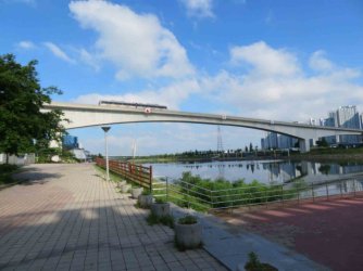
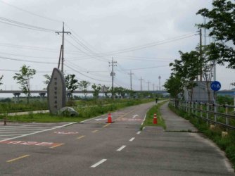
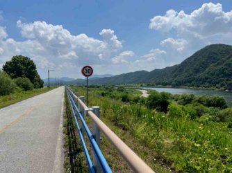
pushed my bike the first 15 minutes through the busy streets until I was over Yangwha Bridge and on to the bike path on the south side of the Han River.
jpeg-optimizer_IMG_6436.JPG

jpeg-optimizer_IMG_6437.JPG
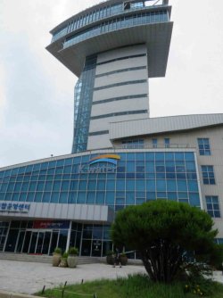
First taste of rain, and it came down pretty hard. battled through and after around about an hour and a half managed to get to the Ara West Sea Lock and the K-Water building where I was able to get my passport.
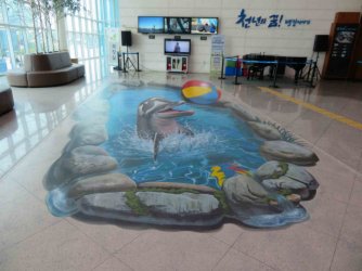
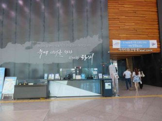
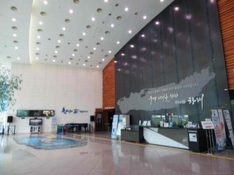
Inside of the reception building
jpeg-optimizer_IMG_0009(2).JPG
jpeg-optimizer_IMG_0010(3).JPG

jpeg-optimizer_IMG_0011(7).JPG
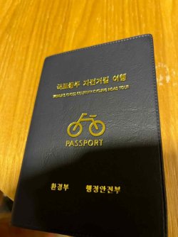
My passport. Used to collect the stamps along the 9 official bike paths. On completion of the paths, you take the passport to the certification centres at Ara West or Busan and the Korean Government provide you with a stamp and/or certificate and/or medal, depending on what path you have completed. My goal was the Cross Country track, 633km, which would require me to complete the Ara Pathway, Hangang Path Saejae Path and the Nakdonggang Path, which ends in Busan. My reward, stamps, certificate and the Cross Country Medal.
jpeg-optimizer_IMG_6444.JPG
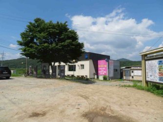
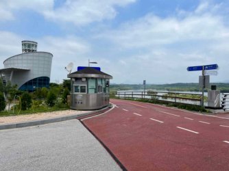
Outside of the certification centre
jpeg-optimizer_IMG_0013(8).JPG

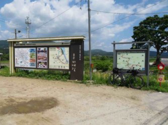
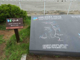
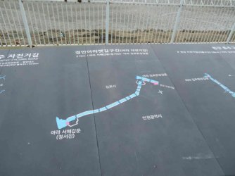
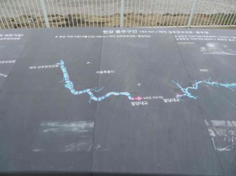
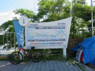
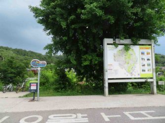
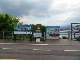
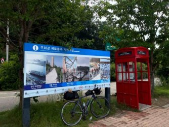
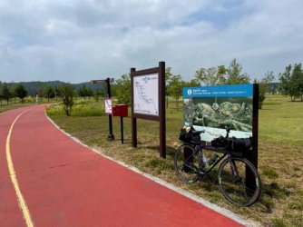
In the area around the certification centre, plenty of information about the paths. The cross country path.
jpeg-optimizer_IMG_0019.JPG
 
Australia's highest-earning Velocity Frequent Flyer credit card: Offer expires: 21 Jan 2025
- Earn 60,000 bonus Velocity Points
- Get unlimited Virgin Australia Lounge access
- Enjoy a complimentary return Virgin Australia domestic flight each year

AFF Supporters can remove this and all advertisements

Loving this so far. I am quite a keen cyclist - looking forward to seeing more information about the cycle and any difficulties encountered along the way. Must admit I had no idea you could do something like this in South Korea. Hope we get a photo of your wheels for the week!
 
jpeg-optimizer_IMG_0020(1).JPG

jpeg-optimizer_IMG_0021(2).JPG

jpeg-optimizer_IMG_0026(5).JPG

jpeg-optimizer_IMG_0027(2).JPG
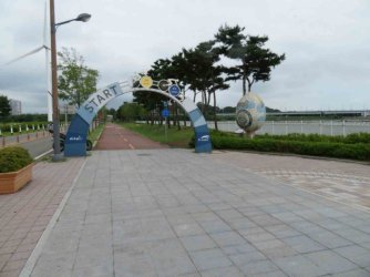
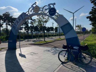
The official starting point of the trek.
jpeg-optimizer_IMG_0028(8).JPG I had a short 4 km ride to Cheongna International City Station, where I was able to leave my bike in a locker over night. On the train to the next station on the AREX line - Geomam. Transfer to the subway, another 3 stops and to my hotel in I think Gyeongseo-dong, a suburb of Incheon.
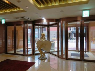
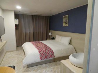
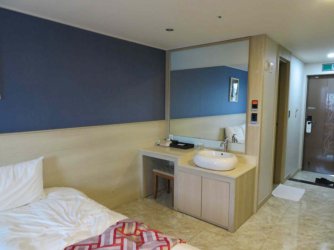
Hotel Sopra, quite a few hotels around this area, as well as just as many quite obvious love hotels.
jpeg-optimizer_IMG_0031(1).JPG
jpeg-optimizer_IMG_0033(3).JPG

jpeg-optimizer_IMG_0035(5).JPG

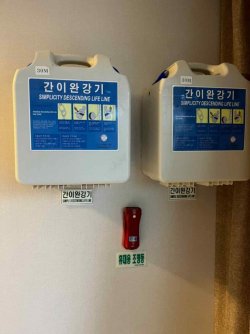
In case of evacuation
jpeg-optimizer_IMG_6443.JPG
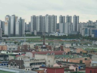
View from the corridor window
jpeg-optimizer_IMG_0036(3).JPG
 
You might be, but you're probably not, asking how did i end up attempting to cycle 600 plus km's across Korea? 2020 was a big re-set for a lot of people and that was certainly the case for me. A few worrying signals from my body, confirmed with various medical test results, something had to change or things might have been grim. Goodbye sugar, goodbye carbs, hello to a much healthier diet, and also to the best shape of my life. Also hello to a mountain bike, which became a hybrid, which became a flat bar road bike, which became a carbon fibre drop bar road bike. Footy shorts, t-shirts and runners became padded pants, lycra and clipless shoes. 5km rides became 10, became 20, became 50 and so on and so on. Also made a return to playing footy, and have also taken up golf, which is not so great for my mental state.
It was researching the Shimanami Kaido where I stumbled across the 4 Rivers Cycle Paths in Korea.
So hear I am, testing myself mentally and physically. I have ridden 100km's plus at a time, but not 6 days in a row.
On the subway, then the AREX, hoping my bike was still there. No dramas, got the bike out, fastened my bags and off to the start line.
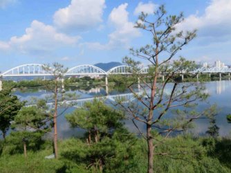
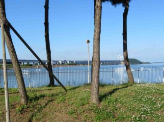
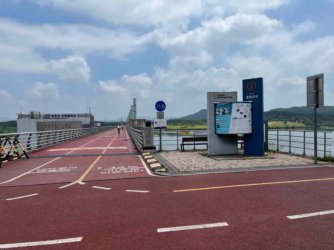
Bridge that leads to Incheon Airport
jpeg-optimizer_IMG_0002(8).JPG
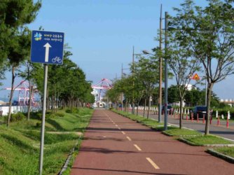
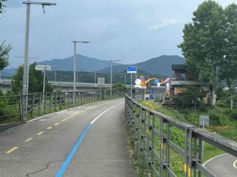
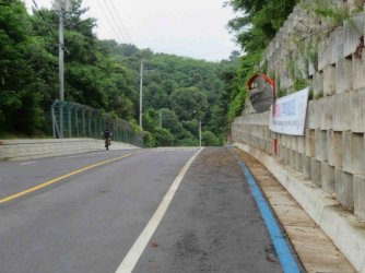
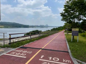
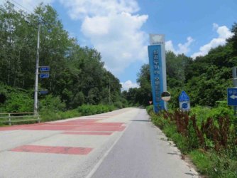
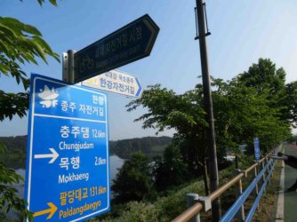
These signs, along with a blue line on the track, would be my navigation aids for the 6 days. Coming fro Busan this one would be a welcoming sight, signalling the end of the ride.
As well as a passport, you get given a map of the paths, which I would be using to help me. Google maps isn't great in Korea, you can use Naver or Kakao, which are both Korean. I downloaded both, but never got around to registering, so they weren't very useful to me. 4 Rivers Path, my thinking was keep the river in sight and I'd be right

jpeg-optimizer_IMG_0006(2).JPG
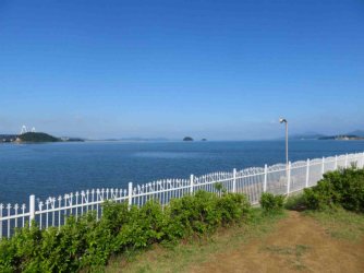
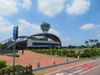
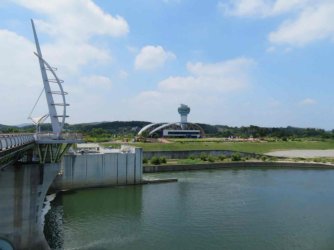
It is quite scenic at the canal mouth
jpeg-optimizer_IMG_0015(1).JPG
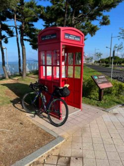
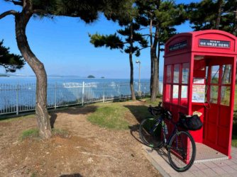
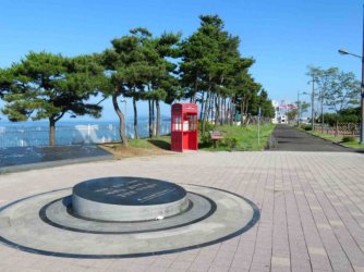
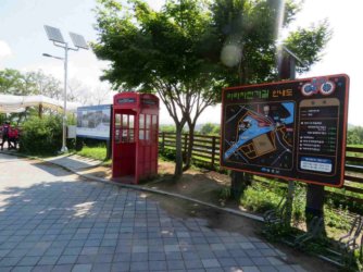
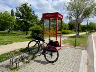
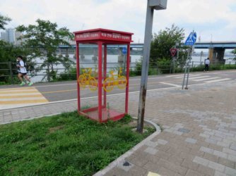
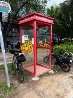
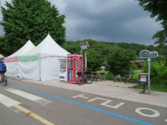
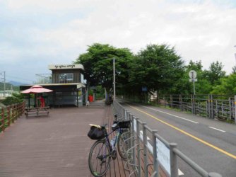
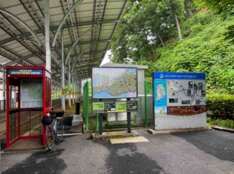
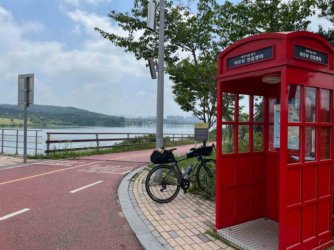
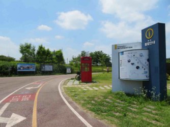
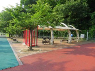
Stamps are located in red phone booths. In to get my first stamp
jpeg-optimizer_IMG_6465.JPG

jpeg-optimizer_IMG_6466.JPG

And to the start
jpeg-optimizer_IMG_6460.JPG
A final look back
jpeg-optimizer_IMG_0030(3).JPG

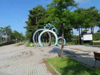
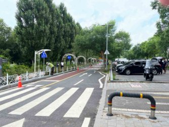
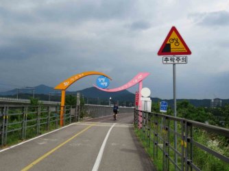
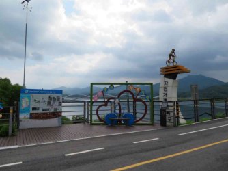
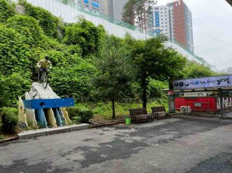
As expected I guess, the bike theme is highly evident along the paths
jpeg-optimizer_IMG_0034(1).JPG

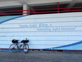
Korean example of Japanglish
jpeg-optimizer_IMG_6467.JPG

jpeg-optimizer_IMG_0042(3).JPG
 
jpeg-optimizer_IMG_0043(4).JPG

jpeg-optimizer_IMG_0046(5).JPG

jpeg-optimizer_IMG_0063(4).JPG
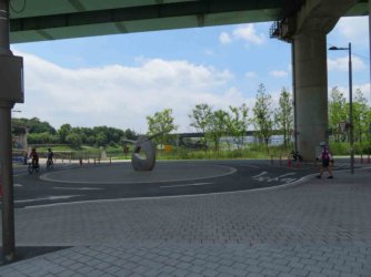
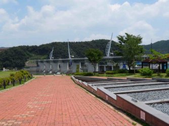
After just over an hour made it to my first checkpoint and the Ara Path was done. All 21 km was bike path, apart from crossing a couple of roads at the canal mouth at the start, and a bit of footpath riding around the Gimpo Port area
jpeg-optimizer_IMG_0070(4).JPG

jpeg-optimizer_IMG_0071.JPG

jpeg-optimizer_IMG_0076(5).JPG
On to the Hangang River Path. beautiful weather for riding, and many were taking advantage of the conditions.

jpeg-optimizer_IMG_0077(3).JPG

Came to my first dilemma of the ride. Seoul has many bike paths, with many of them joining on to the Hangang River Path, and many of them identified by blue lines. Fork in the path, I zigged when I should have zagged, however result was only a few minutes before I realised I was probably wrong, stopped, checked the map, and made the correction. Wouldn't have had the friendly chat with the fella carrying the golf club walking past where I stopped if I hadn't gone the wrong way.
Back tracked, zagged and found my next checkpoint.
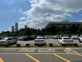
jpeg-optimizer_IMG_6469.JPGJust over from the National Assembly
jpeg-optimizer_IMG_6471.JPG
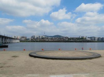
About 45 km's in and time for a bit of a break at Banpo Bridge
jpeg-optimizer_IMG_0085(1).JPG
 
Over the Jamsu bridge, which is the lower deck, and original bridge before Banpo was added to it and to the north side of the river. Next checkpoint was on the north, and to keep my bearings, as well as the river, had Lotte Tower in sight as well.
Another 10k's and came to a bit of a roundabout and a popular looking stop to grab myself an iced coffee. Was astounded at the amount of coffee shops in Korea.
jpeg-optimizer_IMG_0088(2).JPG

jpeg-optimizer_IMG_0094(2).JPG

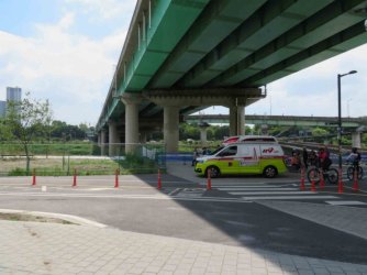
As i was sitting, sipping on my coffee, a rider came through and with a large thud, came off his bike. He didn't seem to be moving much, and my thought was he's had a heart attack and dropped. Having a Senior First Aid and CPR qualification, I thought I might have to spring into action here. Made my way over at about the same time a few Koreans did, the bloke was conscious and moving a bit at this stage, so all looked under control and left them to it. He was an older fella, and wasn't too happy with the fuss being made, but an ambulance arrived and did take care of him.
jpeg-optimizer_IMG_0095(3).JPG
After that excitement, off I went again, still with the river on my right. after a few k's, realised I had lost sight of Lotte Tower, and the Han River wasn't as wide as I expected it to be. Went a bit further, before finally stopping and checking my location on google maps. Should've gone right at the roundabout, had followed a tributary and would cost me about an hour.
Back on track and the next check point, Ttukseom Observatory.
jpeg-optimizer_IMG_0096(2).JPGA stop for lunch at the convenience store a few hundred metres from the stamp booth. If I hadn't have taken the wrong turn, I wouldn't have had the next encounter.
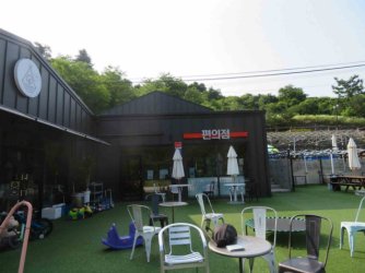
As I pulled my bike up, a Korean fella seemed to be taking a keen interest in myself and my set up. Exchanged pleasantries and inside i went to grab a gimpap and a drink. When I came out he was still hanging around, and still keen to speak to me. He was quite astounded that I was from Australia and that I was cycling across his country, and in a nice change from the Australian reaction, he was impressed when I told him I was a teacher. Seemed like a nice bloke, and a bit of a boost when he said he had a lot of respect for me for what I was doing, then asked to have a photo with me. Absolutely hate having photos of myself taken, but obliged for this fella. Wished me luck and off I went again.
The observation deck
jpeg-optimizer_IMG_0099(2).JPG
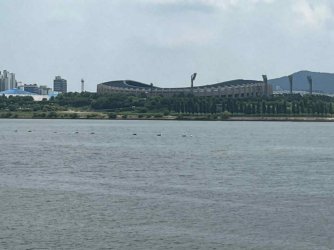
Olympic Stadium
jpeg-optimizer_IMG_6475.JPG

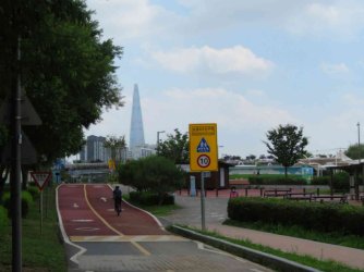
Back on track with Lotte Tower as my guide
jpeg-optimizer_IMG_0109(3).JPG

Headed back over to the south of the river for the short 15k's or so to the next booth - Gwanganru Bicycle Park
jpeg-optimizer_IMG_6478.JPG
jpeg-optimizer_IMG_6480.JPG

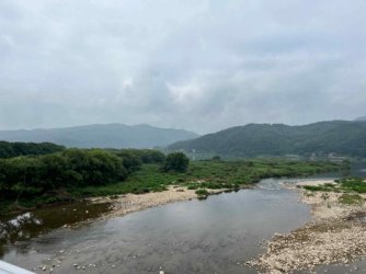
Out of Seoul now, paths still fantastic, less riders although still quite a few on the trails

jpeg-optimizer_IMG_0115(1).JPG
 
Getting quite muggy, but still a pleasant ride
jpeg-optimizer_IMG_6481.JPG
Time to cross the river again
jpeg-optimizer_IMG_6482.JPG
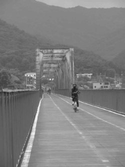
Path had turned south, so now on the east side. Lower bridge was out of action, so had to use the higher bridge to get over.
jpeg-optimizer_IMG_0121(3).JPG

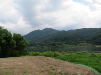
Green and lush
jpeg-optimizer_IMG_0122(4).JPG

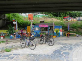
Stopped at this little stall to stock up on water
jpeg-optimizer_IMG_0125(2).JPG

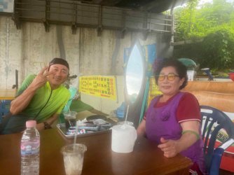
As I was getting back on my bike, the fella beckoned me over to the table. Invited to sit down at the table, the lady got me an iced coffee, and we sat and chatted, via google translate, the gentleman's broken English, and my best, but terrible, effort at Korean. The lady had no English at all, so she communicated via the fella, whose English wasn't great. We got by though. Very nice touch though, when was saying y goodbyes, she said something to the fella, and he translated as 'will you come back and visit us again'.
In hindsight, maybe the bloke wasn't as impressed with my conversation as I thought he was.
jpeg-optimizer_IMG_6483.JPG

Energised, and still with about 35km to go, off I went

jpeg-optimizer_IMG_0126(2).JPG

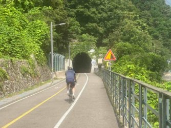
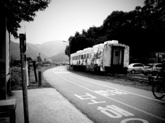
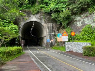
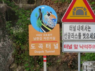
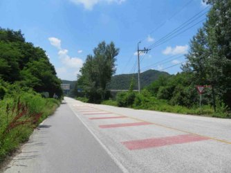
This section of path is built over old rain lines, so there's a few tunnels you ride through
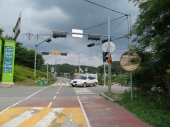
jpeg-optimizer_IMG_6486.JPGCross a few roads as well, which upsets the rhythm a bit
jpeg-optimizer_IMG_0130(1).JPG
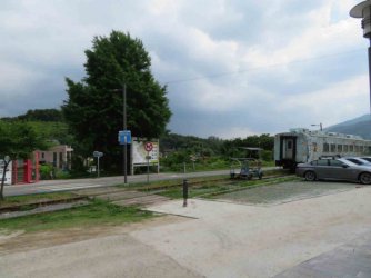
Next checkpoint, an old railway station, Neungnae Station
jpeg-optimizer_IMG_0131(2).JPG
 
jpeg-optimizer_IMG_0132(2).JPG

jpeg-optimizer_IMG_0136(1).JPG

jpeg-optimizer_IMG_0142(1).JPG
Approaching the Bukhangang Path, not part of the cross country trek, but needed to complete the Grand Slam. Bit of attention needed to ensure I didn't end up going off course.
Where paths branch off the signs don't actually tell you which is which, it is simply an arrow showing direction of both paths. bit of trial and error, and trusting your instinct needed needed at times, as well as dumb luck.
jpeg-optimizer_IMG_6495.JPG

jpeg-optimizer_IMG_0144(2).JPG

Rest area near the junction of the paths
jpeg-optimizer_IMG_0148(2).JPG

jpeg-optimizer_IMG_0149(4).JPG

jpeg-optimizer_IMG_0150(1).JPG

jpeg-optimizer_IMG_0156(2).JPG
 
As I was coming out of this tunnel, the battery on my Osmo Action camera died, so had to stop and change it out. Fortunately, there was a shelter with a couple of benches about 30m from the entrance. Unfortunately, the heavens opened with, and the rain comes down extremely hard in Korea. The shelter was quite ineffective, so had to quickly scurry into the tunnel and get the wet weather jacket out.
jpeg-optimizer_IMG_6502.JPG
jpeg-optimizer_IMG_0168(4).JPG
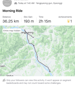
The 25km to my stop for the night of Yangpyeong was going to be quite unpleasant.
Came to a fork in the path, both ways with signs indicating the 4 Rivers Path. I stuck with my guns and went right, as it was going to run closest to the river.
Crossed a bridge over a highway, rode for about 10km, and the path eventually joined up with the main road that ran into Yangpyeong.
Now to find the next booth. In my research I had come across comments saying the booths were hard to find, so I had a bit of a predetermined bias that they would be. I knew it was at the Yangpyeong Art Museum, and I was sure I had picked up the sign directing me to it. (About 5km from the booths, signs start appearing counting down the distance to the booth).
A bit of confusion in the streets of Yangpyeong, and then through dumb luck found a sign saying 500m to the booth. Had been a long day, worked out after I arrived there, that the sign I thought was for the booth was actually for the train station.
Light was fading fast, rain was intermittent, asked some Korean kids for directions to the Art Museum, on the way to where they directed me I stopped at a bike shop for confirmation. He confirmed the directions. Was a few roads to cross, and I still wasn't 100% sure where I was going.
Still had about 5km to my hotel, so made the decision I would back track into town the next morning with a much clearer head to find the booth.
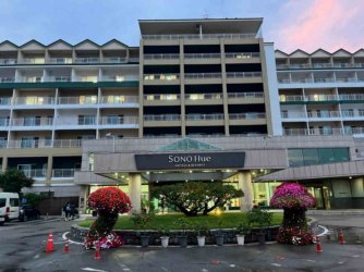
Check of google maps, andf off I wen to my hotel, which was on the outskirts of town.
Long story short, became dark, no cycle path, trucks from the quarry nearby, rain absolutely pelted down. Was petrifying, but I got through to the hotel.
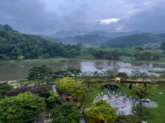
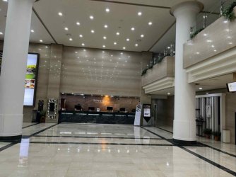
From the balcony of the room.
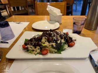
jpeg-optimizer_IMG_6508.JPGHot shower, wet clothes on the drying rack, down to the restaurant for a steak salad.
jpeg-optimizer_IMG_6510.JPG
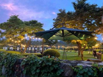
Bit of a wander around the hotel
jpeg-optimizer_IMG_6511.JPG
jpeg-optimizer_IMG_6514.JPG

jpeg-optimizer_IMG_6518.JPG
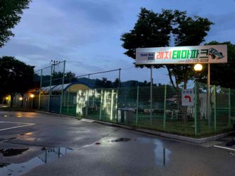
Didn't get to have a crack on the go carts
jpeg-optimizer_IMG_6525.JPG
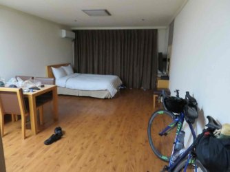
The room
jpeg-optimizer_IMG_0186(1).JPG

IMG_6620 - Copy.PNG
 
Up early and a bit of a walk around the property to get the body moving
jpeg-optimizer_IMG_6535.JPG
Backtracked the 6 or 7 kilometres back into Yangpteoung and to the art museum to find the checkpoint. I had ordered a book with information about the trail a few months before and screenshotted the information re the checkpoints. Information was the booth was in the north-east corner of the property. Took it way too literally and couldn't find the damn thing. Fortunately, technology came to the rescue, I had joined a 4 Rivers trail facebook group, so asked for help in there. Directions given, just had to lift my vision a bit, booth was on a bit of a rise across a carpark at the back of the museum.
jpeg-optimizer_IMG_6540.JPGAlso realisation dawned that had I chosen the fork in the path that went to the left the day previous, I would have been led straight to this booth.
jpeg-optimizer_IMG_6541.JPG
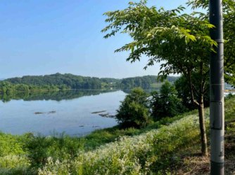
Back tracking and finding the booth had probably taken a little over an hour, but soon enough was back in a nice cadence on the bike. Very scenic and calming, photos don't do the scenery and tranquility justice.
jpeg-optimizer_IMG_6547.JPG First major incline I had come across, and as this was a marathon rather than a sprint, quite happy to hop off and push.
jpeg-optimizer_IMG_0022(5).JPG

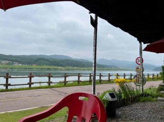
After an hour and a half os so, stopped by the river for a coffee break and to take in the serenity.
jpeg-optimizer_IMG_6548.JPG

jpeg-optimizer_IMG_6549.JPG

jpeg-optimizer_IMG_6550.JPG

jpeg-optimizer_IMG_6554.JPGjpeg-optimizer_IMG_6539.JPG
 
Last edited:
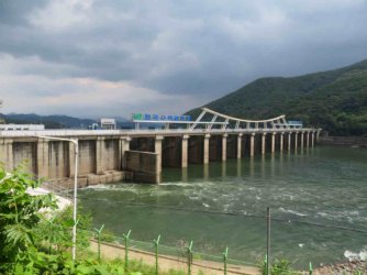
Next booth, Ipo-bo. Of the belief that bo means weir, or dam or reservoir, or I could be completely wrong.
jpeg-optimizer_IMG_6556.JPG

jpeg-optimizer_IMG_6557.JPG.
jpeg-optimizer_IMG_6558.JPG

jpeg-optimizer_IMG_6563(1).JPG

Very pleasant riding conditions, not too hot yet, and wide, open paths

jpeg-optimizer_IMG_0044(5).JPG

The next booth was Yeogo-su, and had done my due diligence and knew the checkpoint was on the south side of the bridge. But, true to form, I second guessed myself, road around in circles for a while and eventually found a stamp in the little red box. Stamped my book with it, and on I went over the bridge.
jpeg-optimizer_IMG_6564.JPG

jpeg-optimizer_IMG_6567.JPG

And look what I found
jpeg-optimizer_IMG_6568.JPG

From whence I came
jpeg-optimizer_IMG_6570.JPG

And the path forward
jpeg-optimizer_IMG_6571.JPG
 
Really enjoyable TR and pictures thank you. But I keep waiting for the amphibious monster from "The Host" to leap out from the river and run down the bike path.
 
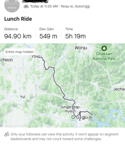
Only 10km to the next checkpoint, was a little concerned when the path directed me away from the river and into the outskirts of Yeoju. Wasn't convinced, but had to trust the signs.
jpeg-optimizer_IMG_0062(2).JPG
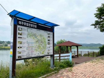
On to footpaths which skirted around the above pictured park and led to a series of shops and hotels along a busy road. To my relief, picked up a sign directing me back to the path long the river. Took the opportunity to stop at a convenience store for some gimpap and to again re-stock the water supplies.
Back on the bike and a quick spin to Gangcheonbo
jpeg-optimizer_IMG_0065(3).JPG
jpeg-optimizer_IMG_0068(1).JPG
Bridge to cross
jpeg-optimizer_IMG_0070(5).JPG
jpeg-optimizer_IMG_0074(2).JPG

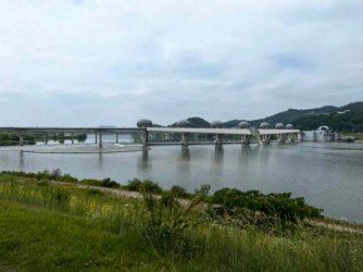
Views from the bridge
jpeg-optimizer_IMG_0077(4).JPG

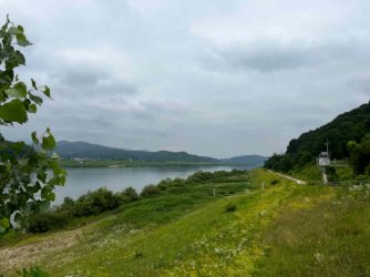
Late morning and really heating up, scenery was still amazing
jpeg-optimizer_IMG_6586.JPG

Entry point into another province. I think.

jpeg-optimizer_IMG_0080.JPG

Signs sent me on to a bit of a convoluted path, again sent a few doubts into my mind, but kept my faith in the signs.
Stretch before the Binaesum checkpoint was on the road, quite a few midsize trucks buzzing past
jpeg-optimizer_IMG_0081(2).JPG

Stopped here for a bit of a rest, then less than a few minutes later osmo camera battery died, so again another stop. Little more than annoyed.
jpeg-optimizer_IMG_0084(1).JPG
 
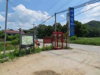
Batteries inserted and off I went, and in a real-life case of agony and, within 20 seconds, the Binaesum CertificationCentre appeared.
jpeg-optimizer_IMG_0089(2).JPG

jpeg-optimizer_IMG_0088(3).JPG

jpeg-optimizer_IMG_0087(5).JPG

Able to get some cold waters and douse myself, as well as having full bottles for the last 40 km's into Chungju.
Shortly after Binaesum copped an incline again where I was off the bike and pushing. The next 30 minutes was great though, riding through rice paddies, corn fields and lemon groves. Had to keep my wits about me looking for the signs as there were lots of twists and turns within the fields.
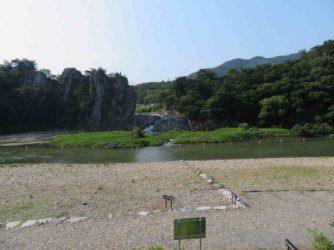
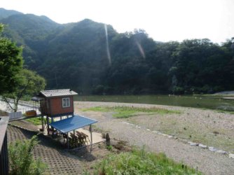
A bit of road riding, then the path takes you along the river again; lots of campgrounds and the locals were out in force setting up for the weekend.
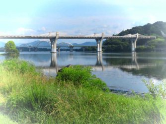
jpeg-optimizer_IMG_0101(2).JPG Chungju in sight
jpeg-optimizer_IMG_0107(5).JPG
Had to take a detour of 10k to the Chungju Dam stamp booth, but the end was in sight and I was feeling really good.
Out to the dam easy enough then the confirmation bias of how hard it would be to find the booth set in. On the facebook page, a lady had trouble finding it a few days previous, and again I had read elsewhere of people finding it hard to find.
From feeling great I went to severely dejected, exhausted and extremely pissed off. I spent about 2 and a half hours looking fo this find booth, and nowhere in sight. Up hills, construction vehicles, darkened roads making me hard to see, and still didn't find it.
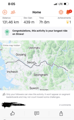
Decided to cut my losses and head to the hotel. Fortunately I had Strava going and you can still get your passport stamped at the end of the trail if you can show evidence of having been there.
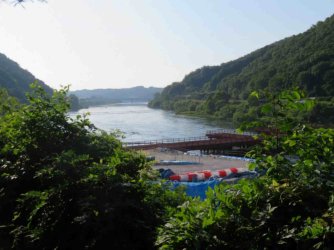
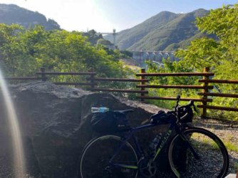
jpeg-optimizer_IMG_0113(1).JPG

jpeg-optimizer_IMG_6607.JPG
Of course having had a look at my Osmo camera footage, I rode straight past it, very, very early into my arrival at the dam area. Wasn't a fleeting glance, it was in my vision for a good 45 seconds, directly in front of me. Would have to be an absolute idiot to miss it.
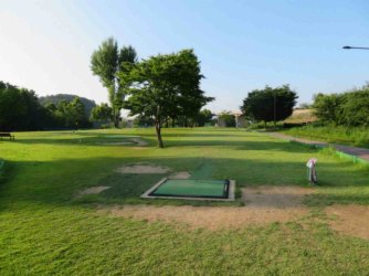
Anyway 10k's back to Chungju and to find my hotel. Bit of a rest on the river side mini golf course, which are extremely popular in Korea. Kindly gentleman must've thought I was looking a bit worse for wear, as he came over and gave me a bottle of water.
jpeg-optimizer_IMG_0115(2).JPG

Had to get off the path and a slow ride through the city streets, untile I reached my hotel, booked through Bookings.com, about 3 hours after I probably should have.
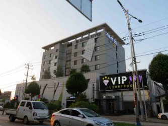
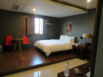
Another surprise, had booked a love hotel. No need for the supplied condoms and lubricants, but the cold water in the fridge was greatly appreciated.
jpeg-optimizer_IMG_0127(1).JPG
Not much English from the lady at my desk, but she said I could store my bike in the foyer.
Big room , hot shower and too exhausted to go searching too far for dinner, so a few bits and pieces from the 7/11 over the road.
Early finish to the night, climbing day tomorrow.
jpeg-optimizer_IMG_0117(4).JPG.
 
Pressed the wrong button on the watch a couple of hours in

IMG_6619.PNG

IMG_6618.PNG

Early start, but not a great one, as in the course of re-attaching my bags to the bike I took my glasses off and of course managed to step on them and break them. Fortunately, had the foresight to bring a second pair with me.
City riding, back tracking to the cycle path, before getting to the first checkpoint of the Saejae Path.
jpeg-optimizer_IMG_0001(10).JPG

jpeg-optimizer_IMG_6626.JPG

jpeg-optimizer_IMG_0004(2).JPG
Bit of map checking and back tracking to make sure I was on course, but all worked out.
Stopped for a coffee, unfortunately despite all the bikes parked there, not open yet
jpeg-optimizer_IMG_0014(7).JPG Pushed on
jpeg-optimizer_IMG_0015(2).JPG
jpeg-optimizer_IMG_0017(2).JPG
Pleasant riding conditions, but it was heating up. Into the hot spring town of Suanbo
jpeg-optimizer_IMG_0020(2).JPG

jpeg-optimizer_IMG_0022(6).JPG
 
Quite a harsh incline out of Suanbo, so first time pushing today. Nice coming down the other way though. Through some farmland, and narrow tracks. Dropped my water bottle at one stage, had to go back about 20m to pick it up. Fortunate I did, because I then noticed the sign telling me to go another way that I had headed.
Back on track, and the first big advertised climb. Determined to do it without walking. As with a lot of things, the expectation didn't match the reality. It wasn't too bad, about 3km of a 5% incline, and managed to do it without my feet touching the ground.
jpeg-optimizer_IMG_0029(2).JPG

jpeg-optimizer_IMG_0031(2).JPG
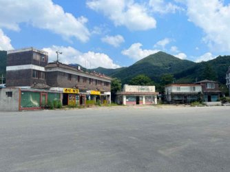
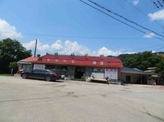
Very enjoyable descent, little group of mostly deserted buidings at the bottom. Quick stop to grab a couple of waters.
jpeg-optimizer_IMG_6635.JPG

jpeg-optimizer_IMG_0035(6).JPG

jpeg-optimizer_IMG_0037(4).JPG

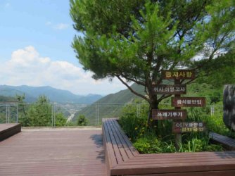
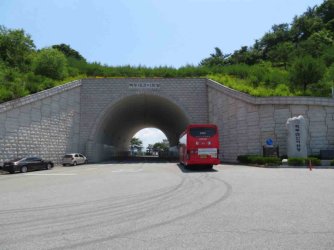
Then it was off for the biggest challenge of the ride. 5km of 5 - 8% grade up Joryeong Mountain and the Ihwaryeong Rest area and certification booth.
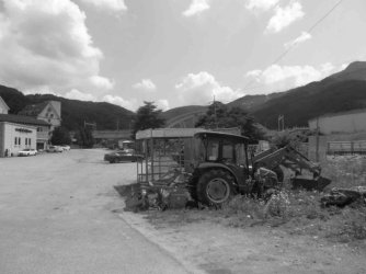
Extremely hot at this stage, about a kilometre in noticed a little tractor with a trailer on the back on the side of the path. Thought to myself if this bloke turns up, will give him 500 bucks to drive me to the top.
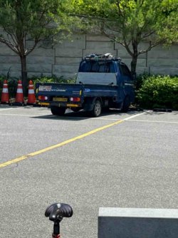
Was hard going, and a few hundred more metres got off the bike for a bit of a walk to regroup. Then the miracle happened. Bloke in a little tray truck pulled up, signaled if I wanted to put my bike in the back. Bloody oath I did.
Any regret not riding the climb? Absolutely none.
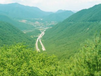
Can see the trail just above halfway in the frame on the right
jpeg-optimizer_IMG_0054(5).JPG
jpeg-optimizer_IMG_0056(2).JPG
The star of the show
jpeg-optimizer_IMG_6637.JPG


jpeg-optimizer_IMG_0057.JPG
 

Become an AFF member!

Join Australian Frequent Flyer (AFF) for free and unlock insider tips, exclusive deals, and global meetups with 65,000+ frequent flyers.

AFF members can also access our Frequent Flyer Training courses, and upgrade to Fast-track your way to expert traveller status and unlock even more exclusive discounts!

AFF forum abbreviations

Wondering about Y, J or any of the other abbreviations used on our forum?

Check out our guide to common AFF acronyms & abbreviations.
Back
Top