Thanks @JohnM. See my post belowI'm not sure whether @Disco is asking about the Skywalk at Castle Rock because they have done it and are curious as to whether you have also done it, or whether they are asking seeking information about it.
If I may briefly hijack, see posts #34 & #35:
Righto, time to go for a drive again in the great wide WA Covid-free land of St Marko’s Own Country®. Setting off tomorrow morning for a week.
Being summer, it is PERtinent to head S. Esperance (Ultimate guide to Esperance | RAC WA) is the target for three nights, via stops in Bremer Bay (Ultimate guide to Bremer Bay | RAC WA) for one night on the way there and in the Porongorup NP (Places to visit and things to do in the Porongurups) for two nights on the way back, and passing through Collie to scope the new mural trail (Collie Mural Trail) on the run back into...
- JohnM
- Replies: 37
- Forum: Trip Reports
You are using an out of date browser. It may not display this or other websites correctly.
You should upgrade or use an alternative browser.
You should upgrade or use an alternative browser.
Up down and around a bit in South West W.A
- Thread starter OZDUCK
- Start date
- Joined
- Jun 7, 2006
- Posts
- 11,515
- Qantas
- LT Gold
Thanks @JohnM. See my post below
If you can get past the big boulder with the inadequate hand-holds (unless it's been improved since 2021) at the bottom, then it's easy going - and well worth it up top.
Thank youIf you can get past the big boulder with the inadequate hand-holds (unless it's been improved since 2021) at the bottom, then it's easy going - and well worth it up top.
Daver6
Enthusiast
- Joined
- Dec 31, 2011
- Posts
- 11,277
- Qantas
- Platinum
- Virgin
- Gold
If you can get past the big boulder with the inadequate hand-holds (unless it's been improved since 2021) at the bottom, then it's easy going - and well worth it up top.
I saw tourists making the trek in uggs. The walk up is constant uphill but it's stepped and not overly hard. Easy enough to take a breather if need be. Well worth the walk.
My video from when I went
- Joined
- Jun 7, 2006
- Posts
- 11,515
- Qantas
- LT Gold
I saw tourists making the trek in uggs. The walk up is constant uphill but it's stepped and not overly hard. Easy enough to take a breather if need be. Well worth the walk.
My video from when I went
Yes, the walk up from the car park is fairly long and uphill, but not difficult; quite pleasant in fact.
When I refer to the boulder at the bottom, it's at the bottom of Castle Rock itself where you need to scramble over the boulder and through a gap to access the ladder. Stretching to the few steel handholds anchored in the rocks is the challenging bit. Hopefully they have added some more to make it easier for less flexible people. It is seemingly an unnecessary barrier, given how large, superbly engineered and what a great attraction the Skywalk is. There seems to be no logical reason not to reduce the impediment, for the sake of a few more handholds bolted into the rock.
Yes, bit odd to leave it like that if there is a skywalk above. Thanks for the details.Yes, the walk up from the car park is fairly long and uphill, but not difficult; quite pleasant in fact.
When I refer to the boulder at the bottom, it's at the bottom of Castle Rock itself where you need to scramble over the boulder and through a gap to access the ladder. Stretching to the few steel handholds anchored in the rocks is the challenging bit. Hopefully they have added some more to make it easier for less flexible people. It is seemingly an unnecessary barrier, given how large, superbly engineered and what a great attraction the Skywalk is. There seems to be no logical reason not to reduce the impediment, for the sake of a few more handholds bolted into the rock.
OZDUCK
Established Member
- Joined
- Aug 1, 2010
- Posts
- 4,131
The treetop walk was a big enough challenge for meI assume you didnt go up the Pemberton Tree? If it is still there...
OZDUCK
Established Member
- Joined
- Aug 1, 2010
- Posts
- 4,131
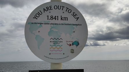
We went for a walk to the end of the Busselton Jetty - the longest timber piled jetty in the southern hemisphere

 busseltonjetty.com.au
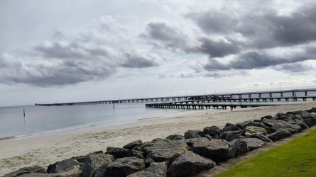
There is some very nice playground equipment in the large park adjacent to the jetty entrance. Plus some restaurants and a craft brewery.
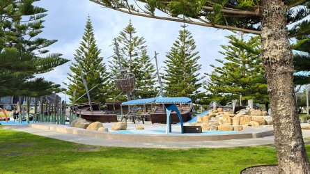
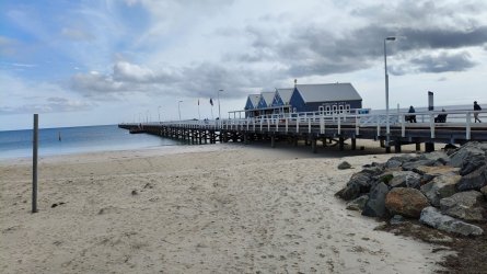
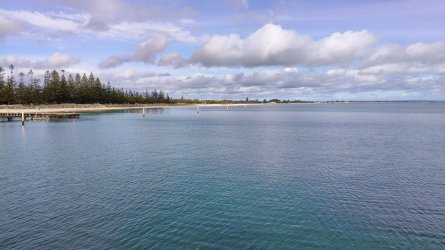
About half way out
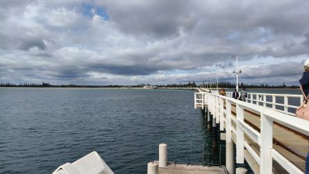
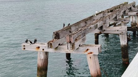
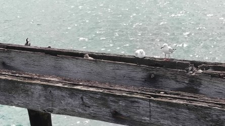
Much of the jetty was detroyed in a cyclone in 1978. The seabirds use the remnants as a very secure nesting area with quite a few chicks there.
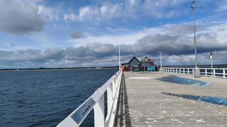
Looking back from the end. There is an underwater observatory there. Our friend went down it and enjoyed the experience even though the waters were a bit darker than normal.
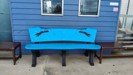
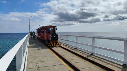
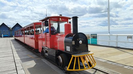
For the less active there is a tourist 'train'

Home - Busselton Jetty
Extending 1.841km out to sea, the heritage listed Busselton Jetty is the longest timber-piled Jetty in the Southern Hemisphere!!
 busseltonjetty.com.au

There is some very nice playground equipment in the large park adjacent to the jetty entrance. Plus some restaurants and a craft brewery.


About half way out

Much of the jetty was detroyed in a cyclone in 1978. The seabirds use the remnants as a very secure nesting area with quite a few chicks there.


Looking back from the end. There is an underwater observatory there. Our friend went down it and enjoyed the experience even though the waters were a bit darker than normal.


For the less active there is a tourist 'train'


OZDUCK
Established Member
- Joined
- Aug 1, 2010
- Posts
- 4,131
Catching up with some short videos I had missed.
Firstly around the Treetop Walk
You van hear some nice bird song on this one
Working up a lather with the soapbush leaves
Driving out of the Valley of the Giants to the main road. With did a loop by coming in another entrance road further south of here. I was directing our friend which way to turn.
VID20240909122123
The jetty train
VID20240910113112
OZDUCK
Established Member
- Joined
- Aug 1, 2010
- Posts
- 4,131
Looking through my photos it is obvious that my phone has deleted a number of photos on its own volition. While it will probably make you happy that there are less photos to look at I am concerned that so many have disappeared. Early on in this TR I thought I was missing a few photos but wasn't completely sure but now almost a days worth of photos has disappeared - very strange.
Later on we headed out along Cape Naturaliste to the lighthouse.
We had a quick stop at Meelup Beach
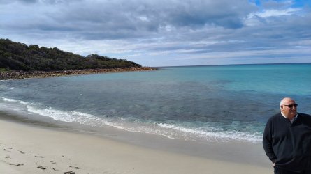
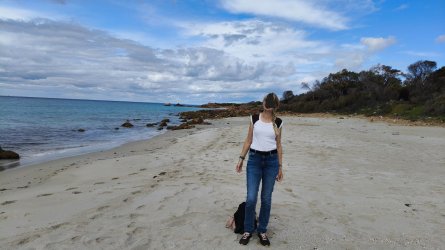
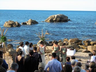
Also at Bunker Bay. We saw some whales offshore but they were too far away to get a really good photo of them. And any slightly good ones I did get were amongst those that have disappeared.
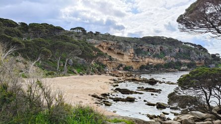
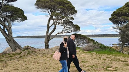
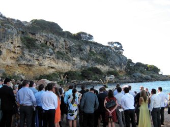
My niece was married in this bay about 15 years ago
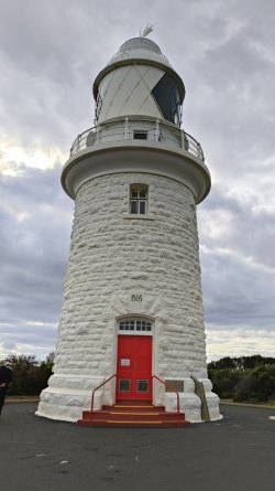
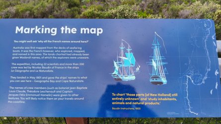
Then to Cape Naturaliste Lighthouse
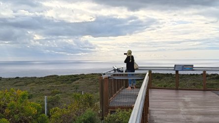
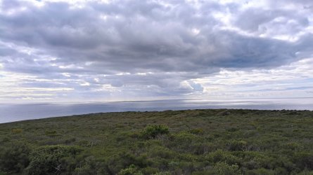
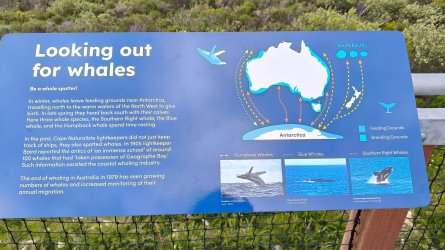
Later on we headed out along Cape Naturaliste to the lighthouse.
We had a quick stop at Meelup Beach


Also at Bunker Bay. We saw some whales offshore but they were too far away to get a really good photo of them. And any slightly good ones I did get were amongst those that have disappeared.


My niece was married in this bay about 15 years ago


Then to Cape Naturaliste Lighthouse


Last edited:
OZDUCK
Established Member
- Joined
- Aug 1, 2010
- Posts
- 4,131
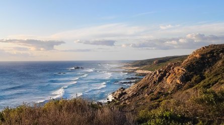
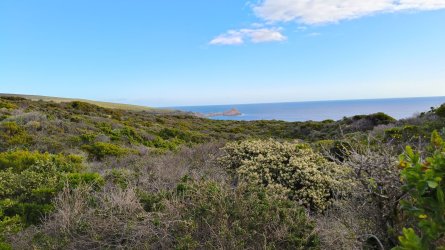
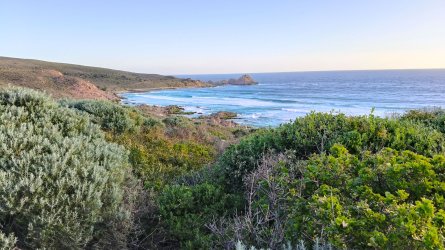
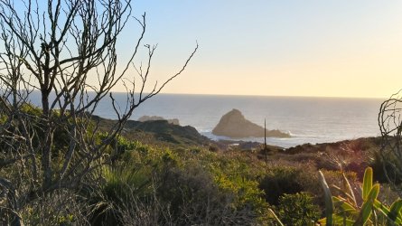
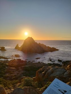
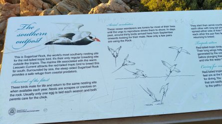
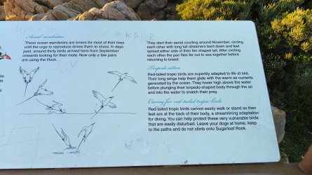
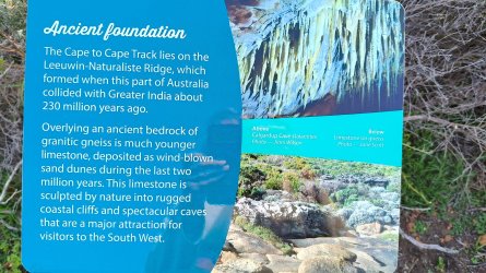
After a quick look around I suggested that my wife and her cousin do some of the first stage of the Cape to Cape Walk. Her cousin did another, much more difficult, hike along another part of it the next day. They walked from the lighthouse to Sugarloaf Rock which is just under a 4 km walk. I took the car and waited there for them.
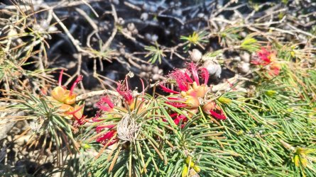
As usual they spotted plenty of flowers
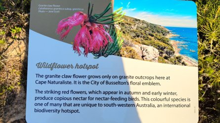
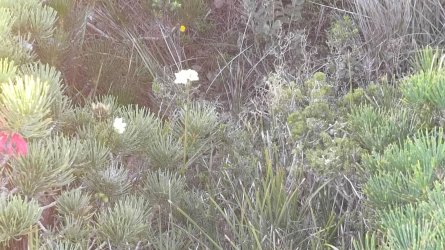
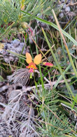
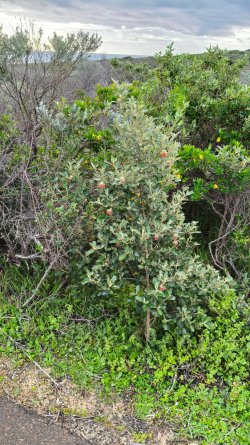
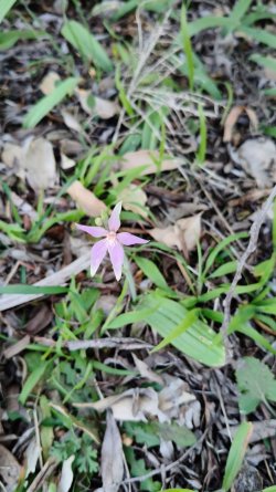
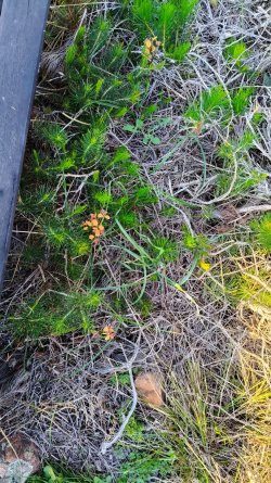
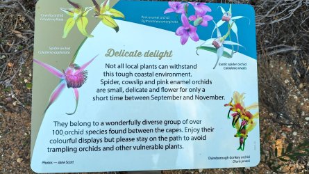
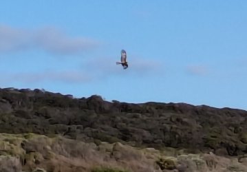
They even got a quick, blurry, look at what I think might be a Whistling Kite

As usual they spotted plenty of flowers


They even got a quick, blurry, look at what I think might be a Whistling Kite

Flyfrequently
Established Member
- Joined
- Jun 20, 2022
- Posts
- 2,256
- Qantas
- Gold
Our Shire put the Busselton Pier up as an alternative in a local poll for Pier Redevelopment project- but nowhere near the length @OZDUCKWe went for a walk to the end of the Busselton Jetty - the longest timber piled jetty in the southern hemisphere

Home - Busselton Jetty
Extending 1.841km out to sea, the heritage listed Busselton Jetty is the longest timber-piled Jetty in the Southern Hemisphere!!busseltonjetty.com.au
View attachment 415949
There is some very nice playground equipment in the large park adjacent to the jetty entrance. Plus some restaurants and a craft brewery.
View attachment 415950
View attachment 415960
View attachment 415959
About half way out
View attachment 415956
Much of the jetty was detroyed in a cyclone in 1978. The seabirds use the remnants as a very secure nesting area with quite a few chicks there.
View attachment 415955
View attachment 415957
Looking back from the end. There is an underwater observatory there. Our friend went down it and enjoyed the experience even though the waters were a bit darker than normal.
View attachment 415953
View attachment 415958
View attachment 415952
For the less active there is a tourist 'train'
View attachment 415951
View attachment 415954
Came in #1 choice
Let's see how long this will take to do seeing a lengthy section of our Pier has been fenced off since 2020
OZDUCK
Established Member
- Joined
- Aug 1, 2010
- Posts
- 4,131
The next day we dropped our hiker off to do Stage 6 of the Cape to Cape Walk on her own. She bought her own hiking poles with her.
"Day 6
Contos to Hamelin Bay: 22.4km, 5-9 Hours
Taking you through the famous regrowth karri trees around Boranup, this day is half amazing forests and half coastal walking including a long beach walk into the holiday hamlet of Hamelin Bay. Marvel at a treasure trove of wildflowers and karri trees as the hike traverses the Boranup Forest. Then enjoy the pristine waters of Hamelin Bay, overnighting in the campground or a cabin at the Hamelin Bay Holiday Park."
 trailswa.com.au
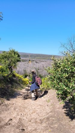
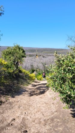
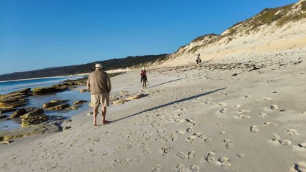
We drove down to Hamelin Bay to pick her up in the afternoon. The walk took her about 6 1/2 hours and she thought it was great. The last 6 or so KM are on soft beach sand and that was very tiring. On parts of the beach you have to also keep an eye out for vehicles. She also had to scramble a bit to get down onto the beach. By the end she was pretty tired but would recommend the walk to anyone with an interest in bushwalking.
Hamelin Bay
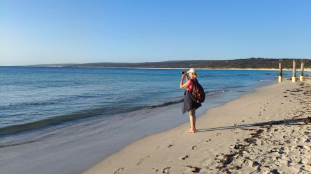
The track is on the beach from the point of the bay on the left of this photo. The weather was much better on this day.
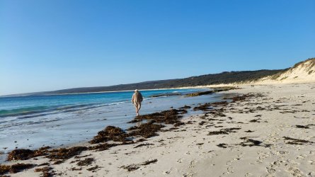
Shoes off on the beach
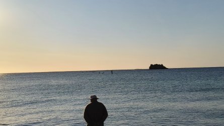
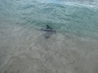
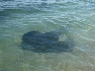
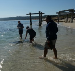
Hamelin Bay at sunset with a few remains of the old jetty sticking up out of the water. There was a big stingray close by the waters edge but we could only see a bit of his 'wings' before he headed out into deeper water. I took her back two times but the rays were playing hard to get.
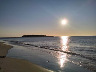
A couple of more photos of the bay with the sun low in the sky
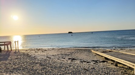
The onshore remnants of the jetty. It was originally built in 1882 and extended in 1898. Timber was exported from there. It was already derelict before being destroyed by a fire in the 1920's.
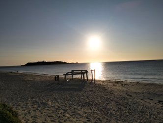
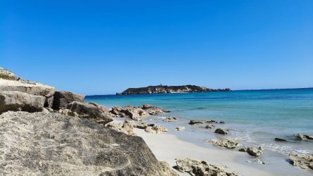
The bay on another day
This what the rays look like when they are not being shy
"Day 6
Contos to Hamelin Bay: 22.4km, 5-9 Hours
Taking you through the famous regrowth karri trees around Boranup, this day is half amazing forests and half coastal walking including a long beach walk into the holiday hamlet of Hamelin Bay. Marvel at a treasure trove of wildflowers and karri trees as the hike traverses the Boranup Forest. Then enjoy the pristine waters of Hamelin Bay, overnighting in the campground or a cabin at the Hamelin Bay Holiday Park."
Your Complete Guide to The Cape to Cape Track - Trails WA
The Cape to Cape Track stretches for 124-kilometres along the Leeuwin-Naturaliste Ridge, between the lighthouses of Cape Naturaliste and Cape Leeuwin in the far south west of Western Australia. It features spectacular coastal and forest scenery, a fascinating geology of cliffs, caves, headlands...


We drove down to Hamelin Bay to pick her up in the afternoon. The walk took her about 6 1/2 hours and she thought it was great. The last 6 or so KM are on soft beach sand and that was very tiring. On parts of the beach you have to also keep an eye out for vehicles. She also had to scramble a bit to get down onto the beach. By the end she was pretty tired but would recommend the walk to anyone with an interest in bushwalking.
Hamelin Bay
The track is on the beach from the point of the bay on the left of this photo. The weather was much better on this day.

Shoes off on the beach


Hamelin Bay at sunset with a few remains of the old jetty sticking up out of the water. There was a big stingray close by the waters edge but we could only see a bit of his 'wings' before he headed out into deeper water. I took her back two times but the rays were playing hard to get.

A couple of more photos of the bay with the sun low in the sky


The onshore remnants of the jetty. It was originally built in 1882 and extended in 1898. Timber was exported from there. It was already derelict before being destroyed by a fire in the 1920's.

The bay on another day

This what the rays look like when they are not being shy


Last edited:
Read our AFF credit card guides and start earning more points now.
AFF Supporters can remove this and all advertisements
OZDUCK
Established Member
- Joined
- Aug 1, 2010
- Posts
- 4,131
She walked through part of the Boranup Forest on her hike and on another day we stopped at everyone's favourite scenic spot on Caves Road to have a bit of a walk. We also went on a drive along the dirt roads through the forest but all those photos have also disappeared.
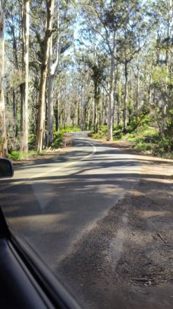
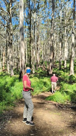
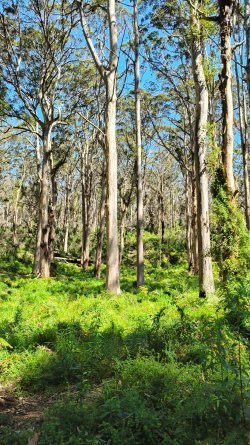
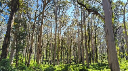
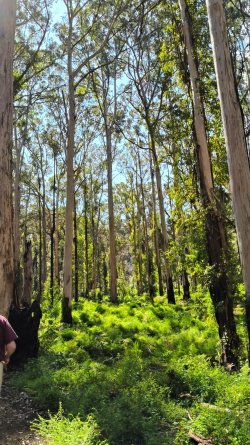
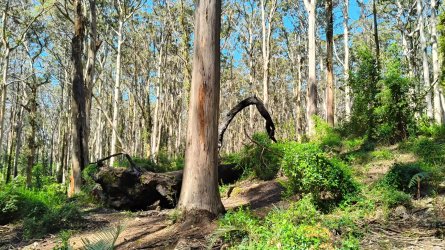

As usual on this trip there were lots of flowers around
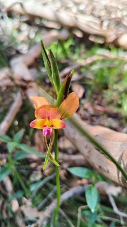
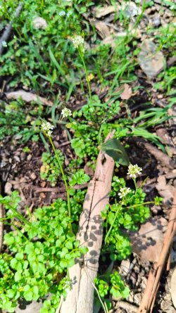
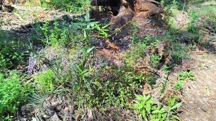
This photo was taken on the previous evening
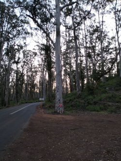


As usual on this trip there were lots of flowers around


This photo was taken on the previous evening

OZDUCK
Established Member
- Joined
- Aug 1, 2010
- Posts
- 4,131
We jumped all round the place for the next few days so there is no real 'theme' in the coming photos.
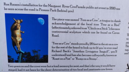
The 'Chick on a Stick' in Wilyabrup. The cause of much angst when it was erected.
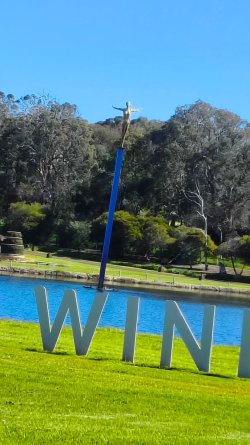

 www.watoday.com.au
In nearby Cowaramup
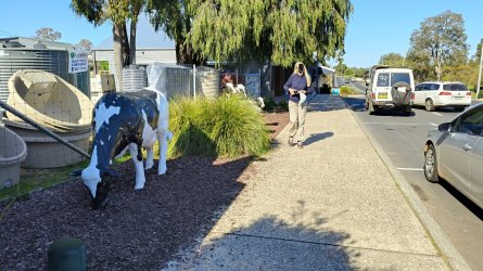
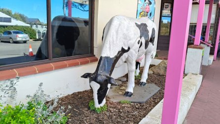
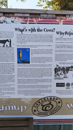
And a bit of fun with 'The Chick on the Stick'.
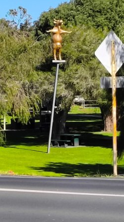
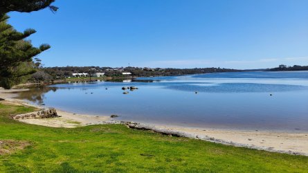
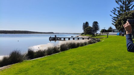
Augusta at the Blackwood River Mouth
The 'Chick on a Stick' in Wilyabrup. The cause of much angst when it was erected.

'Chick on a Stick' to remain as new wineries open at Laurance site
As two of Australia's biggest wineries move into the old Laurance Wines property in Wilyabrup, the future of the famed 'Chick on a Stick' remains in doubt.
In nearby Cowaramup


And a bit of fun with 'The Chick on the Stick'.


Augusta at the Blackwood River Mouth


OZDUCK
Established Member
- Joined
- Aug 1, 2010
- Posts
- 4,131
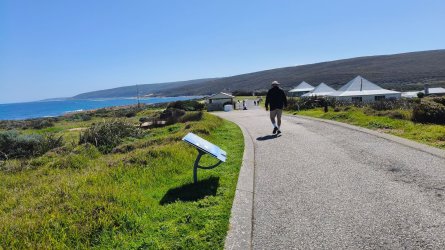
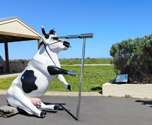
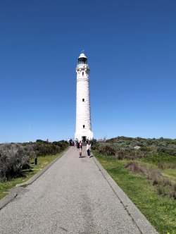
Cape Leeuwin lighthouse and lightkeepers cottages. There is a very interesting museum using these cottages. Again, 95% of my photos around here have disappeared. I am now seriously thinking about buying a new camera for my trips as the loss of photos off the phone is very annoying. I suspected that this had happened on previous trips but this time I am certain of their loss.
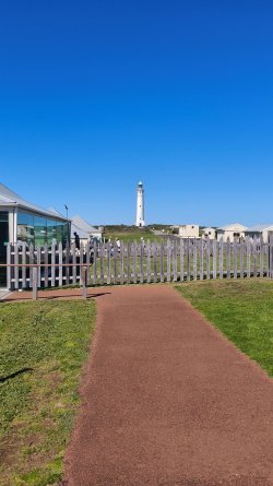
The sea was very calm on this day but there are often severe storms in this are. Working in Fremantle it was not uncommon for ships to arrive with damage caused when they rounded Cape Leeuwin.
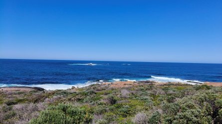
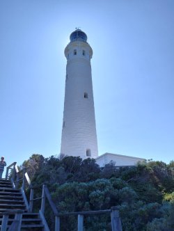
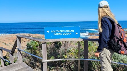
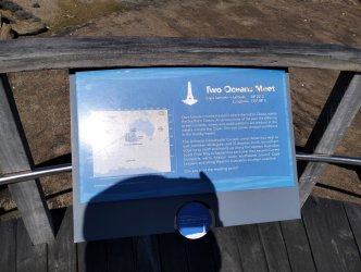


The sea was very calm on this day but there are often severe storms in this are. Working in Fremantle it was not uncommon for ships to arrive with damage caused when they rounded Cape Leeuwin.


OZDUCK
Established Member
- Joined
- Aug 1, 2010
- Posts
- 4,131
Sunset at Yallingup
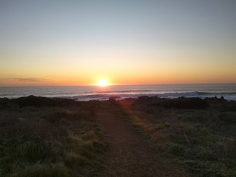
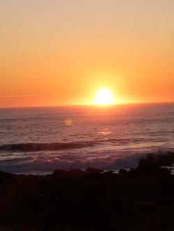
Still a few surfers out
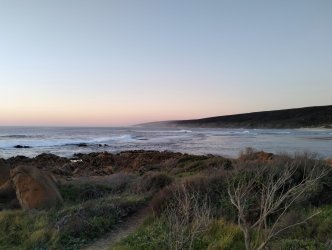
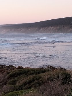
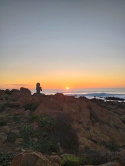
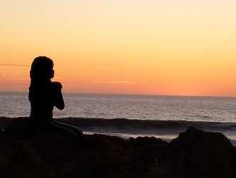
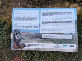
The beach at the mouth of the Margaret River
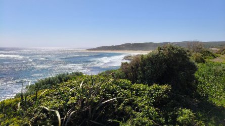
This is where they hold heats of the world surfing Championships. The temporary grandstands are erected around here
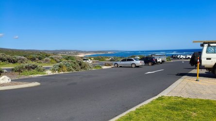
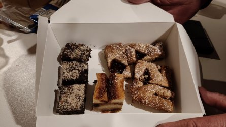
At Yallingup there is a "German Bakehouse". We bought some cakes and yes they are truly German in style and taste according to our friend.


Still a few surfers out


The beach at the mouth of the Margaret River

This is where they hold heats of the world surfing Championships. The temporary grandstands are erected around here

At Yallingup there is a "German Bakehouse". We bought some cakes and yes they are truly German in style and taste according to our friend.

Last edited:
OZDUCK
Established Member
- Joined
- Aug 1, 2010
- Posts
- 4,131
OK - just to finish this off.
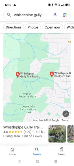
After coming back to Perth at lot off what she saw was not different than lots of other people have previously covered so I will not bother posting those few photos. However, my wife took her for a walk in the National Park near Lesmurdie Falls on the edge of the Darling Scarp - just to the east of Perth Airport.
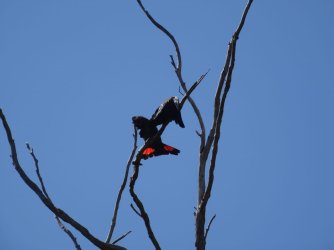
 The Red Tailed Black coughatoos were about
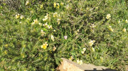
Once again they managed to find lots of flowers
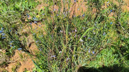
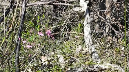
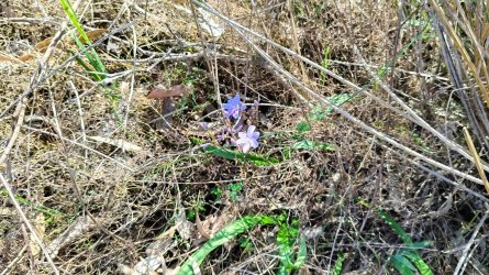
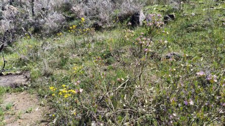
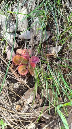
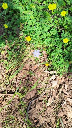
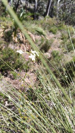
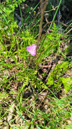
After coming back to Perth at lot off what she saw was not different than lots of other people have previously covered so I will not bother posting those few photos. However, my wife took her for a walk in the National Park near Lesmurdie Falls on the edge of the Darling Scarp - just to the east of Perth Airport.
 The Red Tailed Black coughatoos were about
Once again they managed to find lots of flowers


Become an AFF member!
Join Australian Frequent Flyer (AFF) for free and unlock insider tips, exclusive deals, and global meetups with 65,000+ frequent flyers.AFF members can also access our Frequent Flyer Training courses, and upgrade to Fast-track your way to expert traveller status and unlock even more exclusive discounts!

AFF forum abbreviations
Wondering about Y, J or any of the other abbreviations used on our forum?Check out our guide to common AFF acronyms & abbreviations.
Currently Active Users
- trisreed
- Bindibuys
- Human
- mannej
- muppet
- jane blogs
- A321
- the snake
- US_Amex
- RSD
- MarkD
- Ansett
- Steph123
- SydneySwan
- jenaand
- jrfsp
- Koosc
- n1k
- WilsonM
- MooTime
- Tig82
- WCFCHobart
- WeeWillyWonka
- n7of9
- HealthyPotato
- opusman
- petethemoskeet
- Franky
- Flechette1866
- redmaxo
- HirafuHeartAttack
- Gudetama
- jabba
- PPS_SYD
- Amyswineaffair
- PERLHR
- Aeolus
- bendy
- mbell1510
- Warragul
- brissie
- Lowjhg
- SBD
- ole nimeton
- kerfuffle
- Peter78
- Scash
- Pete Ramsay
- Rich
- fkcn
Total: 714 (members: 92, guests: 622)


