WA WAnderings

Snip 195.JPGSnip 196.JPGSnip 197.JPGSnip 198.JPGSnip 199.JPG

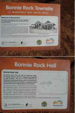
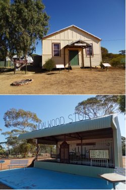
Bonnie Rock townsite has disappeared. All that remains is the hall and markers where various buildings once stood. The location is now essentially only a large grain receival facility.

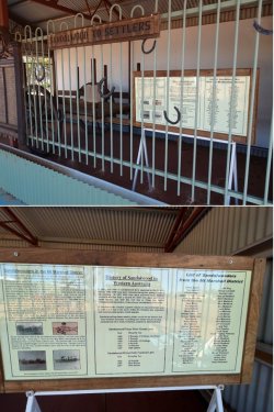
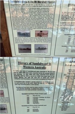
Then on to Beacon, which is a larger and modern agricultural service centre. A display recognising the enormous significance of sandalwood harvesting in the early development of the area. An identical display is also set up at Bencubbin, about 45km directly S.

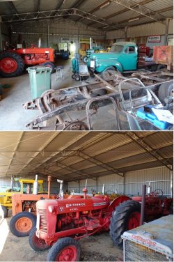
Snip 200.JPGSnip 201.JPGSnip 202.JPGSnip 203.JPG

A very active Mens’ Shed restoring and displaying old machinery.

Snip 204.JPG
 
A quirky roadside display.

Snip 205.JPG

Then to Mukinbudin for the night. A couple of pints of 150 Lashes and an excellent steak sanga at the Muka was a fitting end to a good day’s WAndering.

Snip 206.JPG

Day 3, Tuesday 21 September.

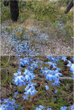
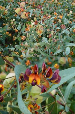
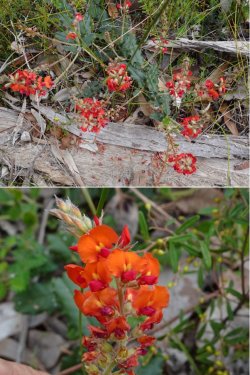
Snip 207.JPGSnip 208.JPGSnip 209.JPGSnip 210.JPGSnip 211.JPGSnip 212.JPG
 
Had to look up endemism to stay onboard. We only made it to Northam and York last week and no photos.
The country is looking good due to the good rainfalls. Hoping to get to Katanning soon and Esperance a bit later.
Thanks for all the photos….Brilliant wild flowers and rock formations.
 
How often were you stopping to photograph wild flowers? Were there several varieties at each stop or only a couple?
 
More beautiful flowers and scenery and even nice looking rocks
 
How often were you stopping to photograph wild flowers? Were there several varieties at each stop or only a couple?

They are widespread and diversity is high wherever you find a good spot.

However, I would recommend getting a guide that points to identified locations as they may elude the cruising traveller, especially across the main wheatblet as the landscape is so dominated by agriculture.

Less necessary when heading north of Perth towards Geraldton because much less of the sandplain heathlands has been turned over to agriculture (as at Mt Lesueur NP in the first outing of the TR). And of course Kalbarri NP, north of Geraldton) is spectacular and very well-known.

I was using this book to target major reserves and NPs, but Jim (a colleague of mine back in the day) also identifies many small reserves and 'hot spots' from his years of roaming about: How to Enjoy WA Wildflowers by Jim Barrow | Boffins Books.

Also see the WA Wildflower Society website eg: Where to See Wildflowers – South of Perth – Wildflower Society of Western Australia

There are plenty of patches along sealed roads, but WAndering off onto side roads is often good.

The granite outcrops are usually good for both the rock formation and wildflowers as they act as water concentrators and they are invariably a long-standing reserve and have never been developed for agriculture.

I probably stop much more than the average person because I tend to know what I'm looking for or can recognise something different or spectacular more readily - a product of the interest and many years driving all over WA, especially the agricultural areas, while working. I could have stopped much more than I did, but after a while one becomes saturated, or time starts to slip away.

I'm not avid in the sense of wanting to identify every species and poking about in great detail; I just like the 'big picture' landscape view.

For most people, I would highly recommend doing homework to pin down hot spots and targetting those; anything else stumbled on then becomes a bonus. Just roaming, while unlikely to be fruitless, is not the most efficient way.

Hope that helps.
 
Australia's highest-earning Velocity Frequent Flyer credit card: Offer expires: 21 Jan 2025
- Earn 60,000 bonus Velocity Points
- Get unlimited Virgin Australia Lounge access
- Enjoy a complimentary return Virgin Australia domestic flight each year

AFF Supporters can remove this and all advertisements
They are widespread and diversity is high wherever you find a good spot.

However, I would recommend getting a guide that points to identified locations as they may elude the cruising traveller, especially across the main wheatblet as the landscape is so dominated by agriculture.

Less necessary when heading north of Perth towards Geraldton because much less of the sandplain heathlands has been turned over to agriculture (as at Mt Lesueur NP in the first outing of the TR). And of course Kalbarri NP, north of Geraldton) is spectacular and very well-known.

I was using this book to target major reserves and NPs, but Jim (a colleague of mine back in the day) also identifies many small reserves and 'hot spots' from his years of roaming about: How to Enjoy WA Wildflowers by Jim Barrow | Boffins Books.

Also see the WA Wildflower Society website eg: Where to See Wildflowers – South of Perth – Wildflower Society of Western Australia

There are plenty of patches along sealed roads, but WAndering off onto side roads is often good.

The granite outcrops are usually good for both the rock formation and wildflowers as they act as water concentrators and they are invariably a long-standing reserve and have never been developed for agriculture.

I probably stop much more than the average person because I tend to know what I'm looking for or can recognise something different or spectacular more readily - a product of the interest and many years driving all over WA, especially the agricultural areas, while working. I could have stopped much more than I did, but after a while one becomes saturated, or time starts to slip away.

I'm not avid in the sense of wanting to identify every species and poking about in great detail; I just like the 'big picture' landscape view.

For most people, I would highly recommend doing homework to pin down hot spots and targetting those; anything else stumbled on then becomes a bonus. Just roaming, while unlikely to be fruitless, is not the most efficient way.

Hope that helps.
Thank you so much. My sister and BIL are in Southwest WA and will find this very helpful. Me? - well maybe next year 🤷🏻‍♀️🤞
 
Righto, another couple of short WAnderings this week. This time, moving a little further south as the northern and eastern areas begin drying quite rapidly.

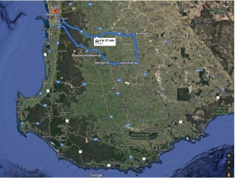
First, Monday-Tuesday, a loop out to Corrigin with stops in the forest of the Darling Scarp and at nature reserves near Corrigin, Harrismith (the latter disrupted by rain as a fast-moving cold front swept through late in the day) and near Narrogin the following morning, then back through the Dryandra Woodland, a unique nature reserve that is soon to become a National Park (Dryandra Woodland - Wikipedia, https://parks.dpaw.wa.gov.au/park/dryandra-woodland, Dryandra Woodland). It is well-known for being a conservation and restoration reserve for the numbat, a unique marsupial and WA’s faunal emblem (Numbat - Wikipedia, The Numbat — Project Numbat).

Snip 240.JPG

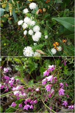
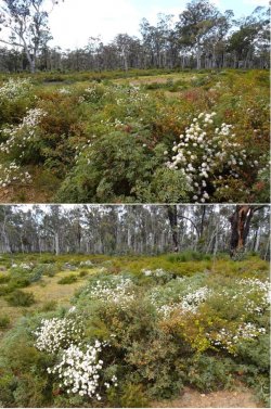
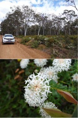
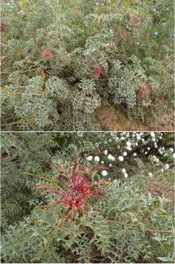
Heading through the forested area of the Darling Scarp, the wildflowers were in abundance.

Snip 241.JPGSnip 242.JPGSnip 243.JPGSnip 244.JPGSnip 245.JPGSnip 246.JPGSnip 247.JPGSnip 248.JPGSnip 249.JPG
 

Become an AFF member!

Join Australian Frequent Flyer (AFF) for free and unlock insider tips, exclusive deals, and global meetups with 65,000+ frequent flyers.

AFF members can also access our Frequent Flyer Training courses, and upgrade to Fast-track your way to expert traveller status and unlock even more exclusive discounts!

AFF forum abbreviations

Wondering about Y, J or any of the other abbreviations used on our forum?

Check out our guide to common AFF acronyms & abbreviations.
Back
Top