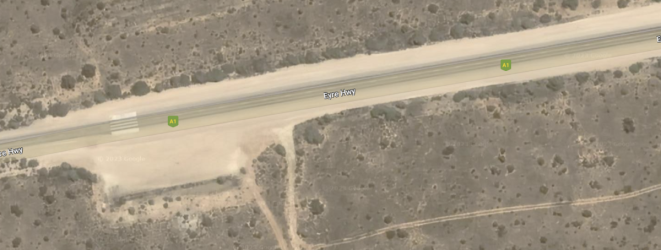
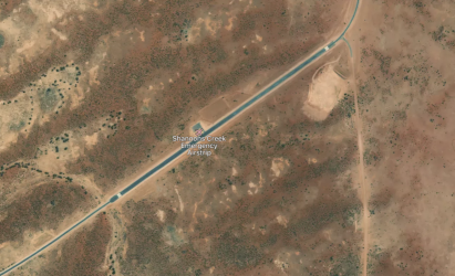
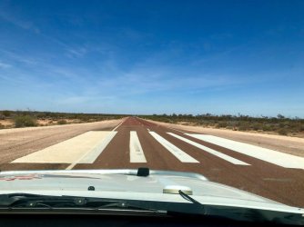
For the really obscure airports/airfields/airstrips some parts of the Eyre highway are signposted, widened, and often with piano keys threshold markings for aircraft landing - especially the RFDS. No IATA/ICAO code
Here is an Eyre Highway RFDS
landing on same runway as in the picture below. Place is called Chadwick Roadstrip
View attachment 322571
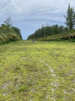
This one north of Broken Hill is actually part of the Silver City Highway, widened and actually has the piano keys threshold markings at both ends. Of course if the road is straight and very long, I suppose only one piano keys threshold markings are needed. Of course, the runway headings are missing. No IATA/ICAO codes that I can see but in FlightSIM it is apparently Y0TP
(Google map images of the same area predate the construction of the runway but coordinates are
here)
Is there a navigation waypoint for this location?
About 1.6km long
Trivia: before landing on a remote airstrip at night, the locals burn diesel soaked dunny rolls to light the field to assist RFDS landings. Apparently it meets CASA requirements so long as they are correctly spaced apart.
Any aviators
@jb747 @AviatorInsight here ever done a dunny roll landing or similar at night?
Flights from these locations are free for certain passengers.....
I wonder if there are any other similar highways/roads with these markings..
View attachment 322559


