You are using an out of date browser. It may not display this or other websites correctly.
You should upgrade or use an alternative browser.
You should upgrade or use an alternative browser.
A Chile chill with a Uruguay and Argentina topping
- Thread starter JohnM
- Start date
- Status
- Not open for further replies.
JohnM
Enthusiast
- Joined
- Jun 7, 2006
- Posts
- 11,466
- Qantas
- LT Gold
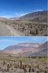
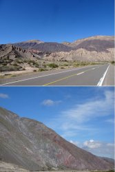
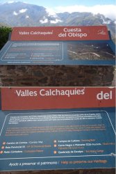
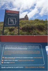
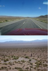
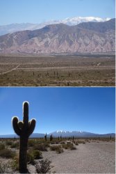
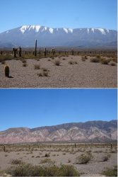
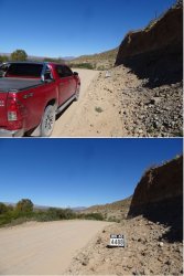
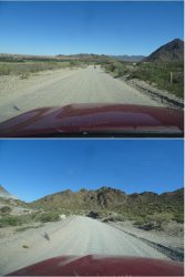
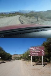
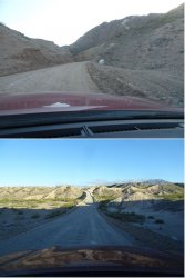
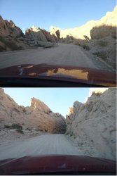
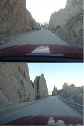
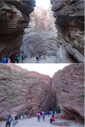
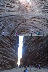
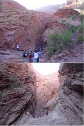
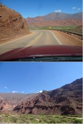
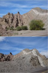
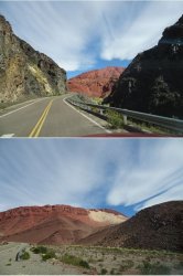
The next day, I left Salta and began the circuit that was to take almost the next two weeks, before returning to Salta. It was a long day’s drive to Cafayate via a spectacular route through the Cuesta del Obispo and on to Parque Nacional Los Cardones (the cardon, or the classic candelabra cactus, is the park’s dominant species), before a couple of hundred clicks along a very rough and narrow section of the famed Ruta 40. Sensational stuff.
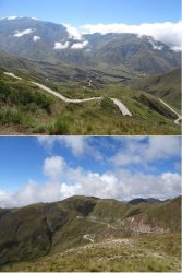
The early stages of the drive were at low(ish) altitude, gradually rising while following a river valley through very verdant country, before the serious climb on some lovely wriggly road.
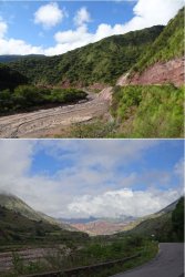
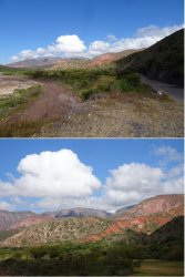
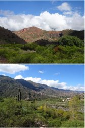
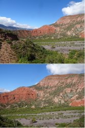
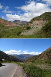
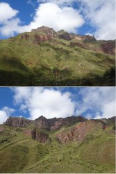
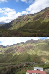
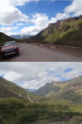
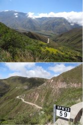
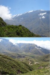
The early stages of the drive were at low(ish) altitude, gradually rising while following a river valley through very verdant country, before the serious climb on some lovely wriggly road.


JohnM
Enthusiast
- Joined
- Jun 7, 2006
- Posts
- 11,466
- Qantas
- LT Gold
Cafayate is a pleasant medium-size town about 170 km as the crow flies SW of Salta. Even though the NW Argentina wine region tends to be called generically the ‘Salta wine region’, most of the wine production is towards Cafayate, making it the main wine-town. Like the world over in such places, there’s an array of cafes, restaurants, wine shops and craft breweries. There is also a good wine museum.
I arrived on the Wednesday evening before Easter and stayed three nights. It was very busy by Saturday.
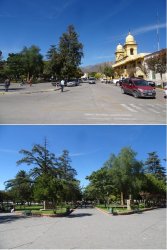
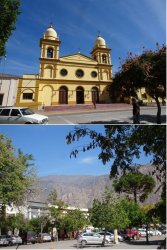
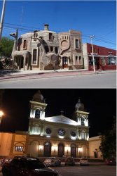
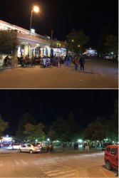
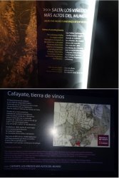
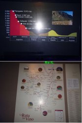
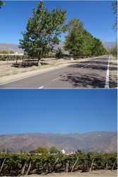
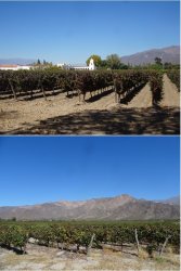
I arrived on the Wednesday evening before Easter and stayed three nights. It was very busy by Saturday.


JohnM
Enthusiast
- Joined
- Jun 7, 2006
- Posts
- 11,466
- Qantas
- LT Gold
EXCLUSIVE OFFER - Offer expires: 20 Feb 2025
- Earn up to 200,000 bonus Velocity Points*
- Enjoy unlimited complimentary access to Priority Pass lounges worldwide
- Earn up to 3 Citi reward Points per dollar uncapped
*Terms And Conditions Apply
- Earn up to 200,000 bonus Velocity Points*
- Enjoy unlimited complimentary access to Priority Pass lounges worldwide
- Earn up to 3 Citi reward Points per dollar uncapped
*Terms And Conditions Apply
AFF Supporters can remove this and all advertisements
tgh
Established Member
- Joined
- Apr 23, 2006
- Posts
- 3,565
JohnM
Enthusiast
- Joined
- Jun 7, 2006
- Posts
- 11,466
- Qantas
- LT Gold
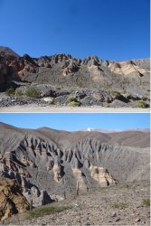
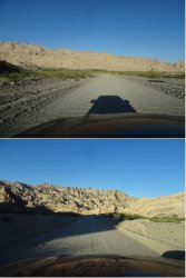
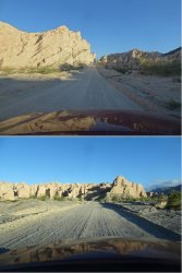
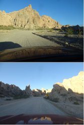
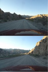
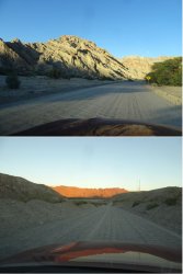
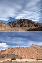
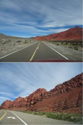
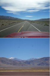
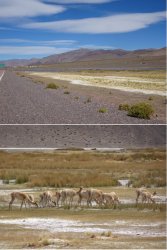
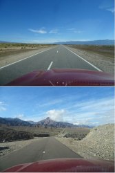
Continuing south in the valley between the E flank of the Andes and the parallel sierra further east, an older range of lower mountains, and banging off a few more hundred clicks on Ruta 40 over a couple of days. Including a long day detouring west into the Andes to scope some hot springs and rugged rocks.
The Termas de Fiambala are hot springs that emerge from the rocks and cascade down through successively cooler pools. It is a popular spot for people to spend the day soaking and socialising.
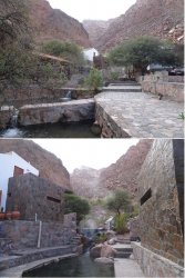
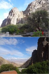

The Termas de Fiambala are hot springs that emerge from the rocks and cascade down through successively cooler pools. It is a popular spot for people to spend the day soaking and socialising.


JohnM
Enthusiast
- Joined
- Jun 7, 2006
- Posts
- 11,466
- Qantas
- LT Gold
Chilecito was my southernmost stop before I swung east around the southern end of the eastern sierra and headed north on the subtropical lowlands of the westernmost part of the Argentinian plains. The weather closed in with very low cloud and drizzle, so I didn’t get out to some of the scenic highland vistas in the area.
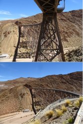
Chilecito was built on silver, gold and copper and has a rather fascinating ‘cablecarril’ or cable-car line that extends for many kilometres into the mountains and was used to transport the ore from the mines to a railhead. It must have been an extremely rich deposit to transport the ore on what is such a small scale by today’s standards.
It’s all been retained as a museum and historical record. I found it very interesting.
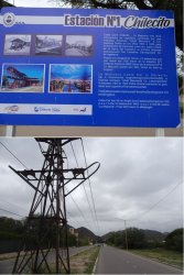
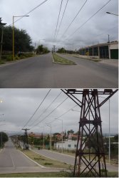
The unloading point at the railhead. I followed the cable car route up into the mountains to station 2 but unfortunately the low cloud negated tracking further up.
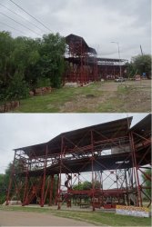
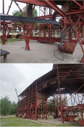
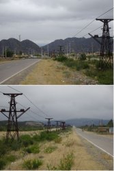
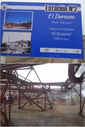
Chilecito was built on silver, gold and copper and has a rather fascinating ‘cablecarril’ or cable-car line that extends for many kilometres into the mountains and was used to transport the ore from the mines to a railhead. It must have been an extremely rich deposit to transport the ore on what is such a small scale by today’s standards.
It’s all been retained as a museum and historical record. I found it very interesting.


The unloading point at the railhead. I followed the cable car route up into the mountains to station 2 but unfortunately the low cloud negated tracking further up.


JohnM
Enthusiast
- Joined
- Jun 7, 2006
- Posts
- 11,466
- Qantas
- LT Gold
After swinging east around the southern end of the sierra and then heading north on the far western plains, my destination for the three nights was up in the sub-tropical eastern slopes of the sierra at Tafi del Valle (2100m). It’s the southernmost part of the Andean sub-tropical rainforest.
It was certainly wet, but it felt more temperate rainforest than sub-tropical owing to a cold mass of air that moved in with low cloud persisted for most of the time I was there. Fortunately, I had chosen a very cosy rustic-style B&B that overcame the wintery feel.
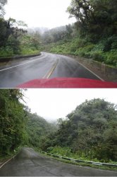
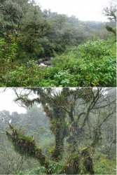
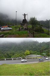
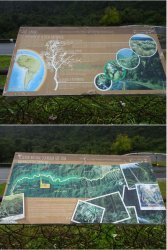
Tafi del Valle is a pleasant town, very tourist-oriented with many B&Bs and houses to let scattered through the surrounding hills. There are wild or semi-wild horses everywhere around the town and in the surrounding countryside.
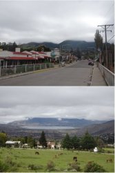
It was certainly wet, but it felt more temperate rainforest than sub-tropical owing to a cold mass of air that moved in with low cloud persisted for most of the time I was there. Fortunately, I had chosen a very cosy rustic-style B&B that overcame the wintery feel.


Tafi del Valle is a pleasant town, very tourist-oriented with many B&Bs and houses to let scattered through the surrounding hills. There are wild or semi-wild horses everywhere around the town and in the surrounding countryside.

JohnM
Enthusiast
- Joined
- Jun 7, 2006
- Posts
- 11,466
- Qantas
- LT Gold
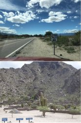
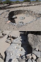
A day drive west over a pass at just over 3000m took me away from the valley-filling clouds and back to sunshine and warmth. I briefly re-joined Ruta 40 in the valley between the sierra and the Andes to visit the ruins of the historic indigenous settlement at Quilmes.
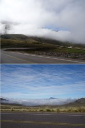
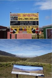
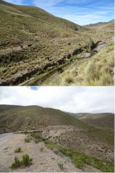
And over the other side of the sierra.
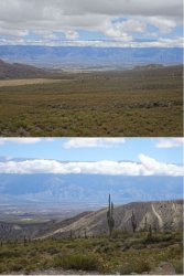
And briefly back on Ruta 40 before the side road to Quilmes. The settlement dates from c. 1000 CE. The indigenous inhabitants survived contact with the Inca from about 1500 CE but couldn’t survive the Spanish who deported the remaining 2000 people to Buenos Aires in 1667.


And over the other side of the sierra.

And briefly back on Ruta 40 before the side road to Quilmes. The settlement dates from c. 1000 CE. The indigenous inhabitants survived contact with the Inca from about 1500 CE but couldn’t survive the Spanish who deported the remaining 2000 people to Buenos Aires in 1667.


JohnM
Enthusiast
- Joined
- Jun 7, 2006
- Posts
- 11,466
- Qantas
- LT Gold
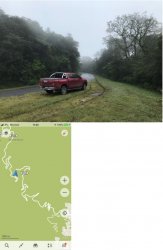
It was still cloudy and cold the next day and I went for a drive into the local hills above Tafi del Valle. The road gradually got narrower and more slippery, so I turned back a couple of clicks from where it ran out. The HiLux only had road tyres.
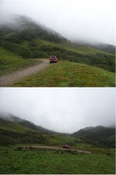
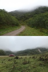
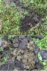
The cold had not deterred some dung beetle activity in the droppings of the grazing cattle.
The next day was back down to the lowlands, the way that I had come up, and a long drive continuing north to Tilcara, about 150 km north of Salta and back into the Andes.
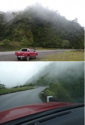
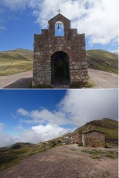
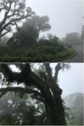
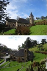
On the recommendation of my B&B host, I took a wriggly detour loop up into more sierra cloudforest on the way. Very cloudy on the way up but then broke above it near a rather pretty, and prettily-situated, little church.


The cold had not deterred some dung beetle activity in the droppings of the grazing cattle.

The next day was back down to the lowlands, the way that I had come up, and a long drive continuing north to Tilcara, about 150 km north of Salta and back into the Andes.

On the recommendation of my B&B host, I took a wriggly detour loop up into more sierra cloudforest on the way. Very cloudy on the way up but then broke above it near a rather pretty, and prettily-situated, little church.


JohnM
Enthusiast
- Joined
- Jun 7, 2006
- Posts
- 11,466
- Qantas
- LT Gold
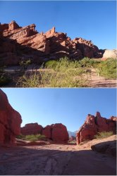
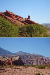
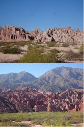
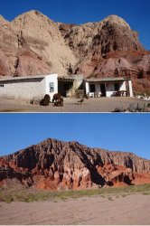
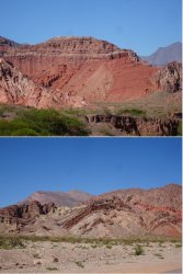
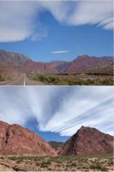
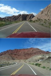
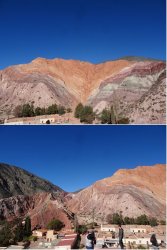
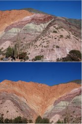
Back down to the lowlands and a long straight run north until a westward swing back towards the Andes. Approaching Tilcara in the afternoon, the west-facing Paleta del Pintor (Painter’s Palette) was picking up the light nicely.
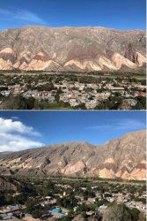
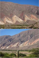
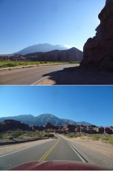
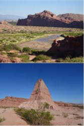
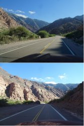
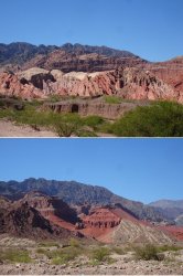
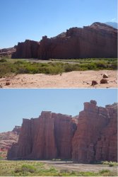
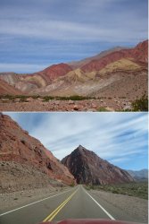
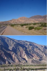
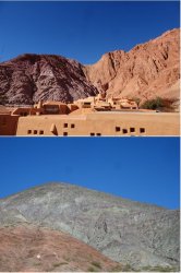
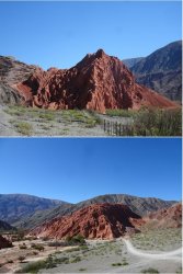
And heading north east for a day trip into the wilds the next morning. Some more pretty colours along the main road before I turned off onto the dirt for a serious drive in the mountains.
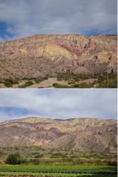
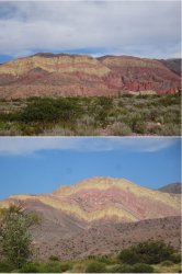
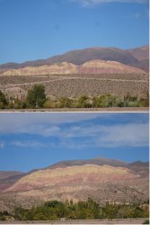


And heading north east for a day trip into the wilds the next morning. Some more pretty colours along the main road before I turned off onto the dirt for a serious drive in the mountains.


JohnM
Enthusiast
- Joined
- Jun 7, 2006
- Posts
- 11,466
- Qantas
- LT Gold
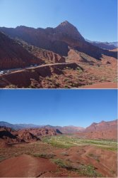
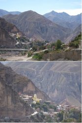
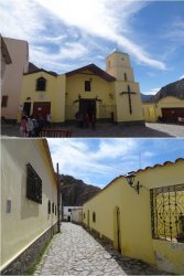
Heading towards Iruya, a remote village with primarily indigenous inhabitants, at just under 3000m. The pass getting there reaches 4000m. The road is very narrow in places and some of the drop-offs a little scary.
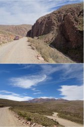
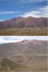
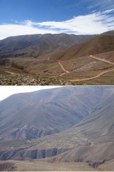
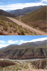
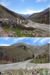
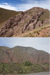
But pretty Iruya awaits and makes the journey worthwhile.
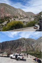
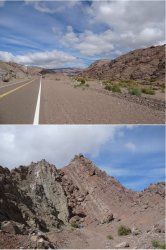
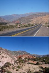
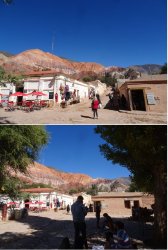
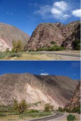
And back on the main road returning to Tilcara after a great day out.


But pretty Iruya awaits and makes the journey worthwhile.


And back on the main road returning to Tilcara after a great day out.

- Status
- Not open for further replies.
Become an AFF member!
Join Australian Frequent Flyer (AFF) for free and unlock insider tips, exclusive deals, and global meetups with 65,000+ frequent flyers.AFF members can also access our Frequent Flyer Training courses, and upgrade to Fast-track your way to expert traveller status and unlock even more exclusive discounts!

AFF forum abbreviations
Wondering about Y, J or any of the other abbreviations used on our forum?Check out our guide to common AFF acronyms & abbreviations.


